Weißer See, Potsdam
Map
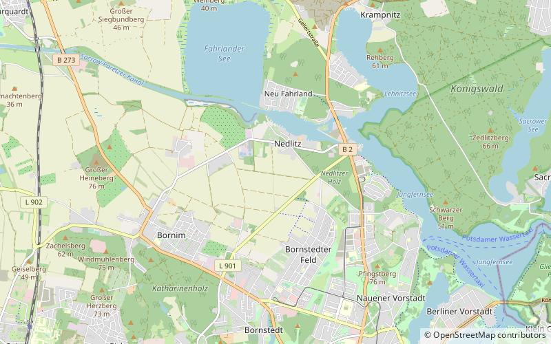
Map

Facts and practical information
Weißer See is a lake in Brandenburg, Germany. At an elevation of 29.4 metres, its surface covers 0.26 square kilometres. The Sacrow–Paretz Canal flows through the lake. ()
Alternative names: Length: 3937 ftWidth: 1115 ftMaximum depth: 7 ftElevation: 138 ft a.s.l.Coordinates: 52°25'60"N, 13°1'60"E
Address
Potsdam Nord (Nedlitz)Potsdam
ContactAdd
Social media
Add
Day trips
Weißer See – popular in the area (distance from the attraction)
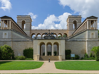
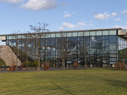
Nearby attractions include: Belvedere auf dem Pfingstberg, Biosphäre Potsdam, Pfingstberg, Volkspark Potsdam.
Frequently Asked Questions (FAQ)
How to get to Weißer See by public transport?
The nearest stations to Weißer See:
Bus
Tram
Bus
- Weißer See • Lines: 698 (9 min walk)
- Lerchensteig/Kleingartenanlage • Lines: 698 (9 min walk)
Tram
- Campus Jungfernsee • Lines: 96 (24 min walk)
- Rote Kaserne • Lines: 96 (27 min walk)

