Zamilapark, Munich
Map

Gallery

Facts and practical information
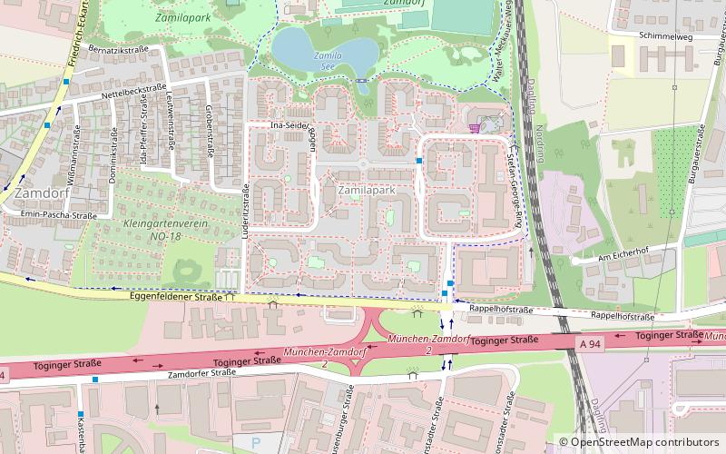
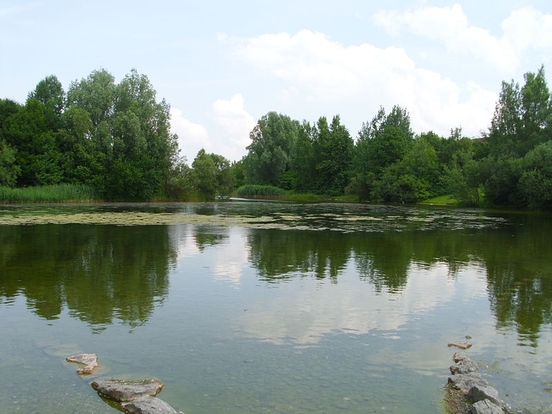
The Zamilapark is a park- and residential area in Munich Zamdorf. It was built between 1983 and 1991 by Bayerische Hausbau and adjoins to the tracks of the Munich North Ring and Munich East–Munich Airport railway. Not far from the park is the S-Bahn-Station Daglfing. In the center of the park is a small lake, called Zamilasee. At the North side is a football pitch located and at the South side is the residential area. ()
Alternative names: Area: 32.12 acres (0.0502 mi²)Elevation: 1722 ft a.s.l.Coordinates: 48°8'28"N, 11°38'46"E
Address
Bogenhausen (Englschalking)Munich
ContactAdd
Social media
Add
Day trips
Zamilapark – popular in the area (distance from the attraction)
Nearby attractions include: St Michael in Berg am Laim, Arabellapark, SV-Hochhaus, Denning.
Frequently Asked Questions (FAQ)
Which popular attractions are close to Zamilapark?
Nearby attractions include SV-Hochhaus, Munich (15 min walk), Denning, Munich (18 min walk).
How to get to Zamilapark by public transport?
The nearest stations to Zamilapark:
Bus
Train
Tram
Metro
Bus
- Ruth-Schaumann-Straße • Lines: 149, 191 (3 min walk)
- Süskindstraße • Lines: 149, 190, 191, N74 (3 min walk)
Train
- Daglfing (16 min walk)
- Berg am Laim (20 min walk)
Tram
- Berg am Laim Bahnhof • Lines: 19 (17 min walk)
- Mutschellestraße • Lines: 21, N19 (28 min walk)
Metro
- Kreillerstraße • Lines: U2 (27 min walk)
- Josephsburg • Lines: U2 (30 min walk)


