Ziegelsee, Schwerin

Gallery (2)
Map
Map
Gallery
Facts and practical information
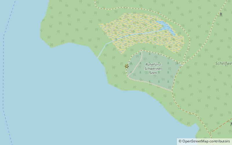
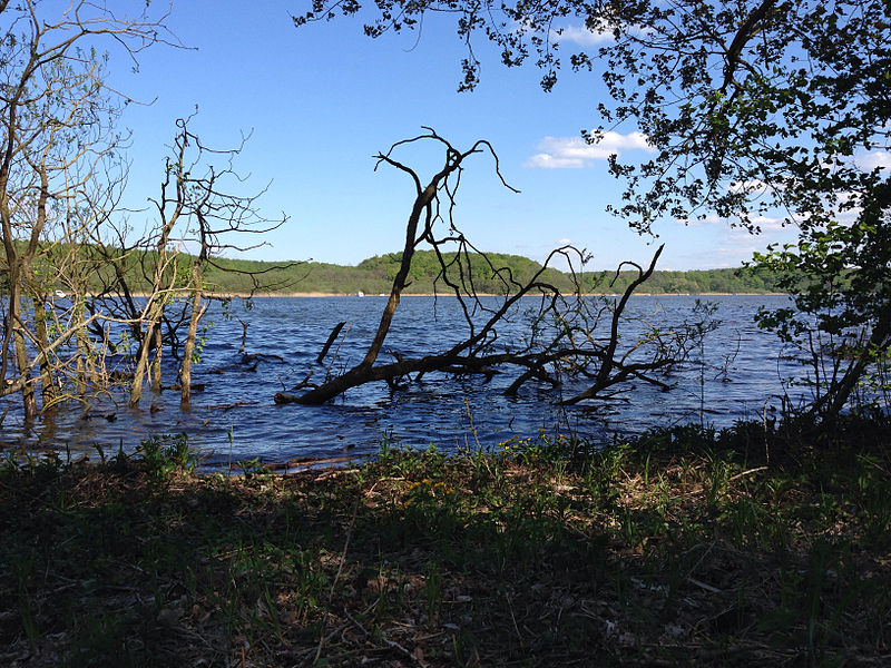
Ziegelsee is a lake in Nordwestmecklenburg, Mecklenburg-Vorpommern, Germany. At an elevation of 37.8 metres, its surface covers 3 square kilometres. ()
Alternative names: Area: 1.16 mi²Maximum depth: 113 ftElevation: 151 ft a.s.l.Coordinates: 53°39'35"N, 11°25'39"E
Address
Schwerin
ContactAdd
Social media
Add
Getting there by public transportation
Public transportation stops near this location
- Bus
- Tram
 Bus
Bus
- Calculate routeWendenhof 19 min walk
- Calculate routeBuchenweg 20 min walk
- Calculate routeForsthof 22 min walk
- Calculate routeMarie-Hankel-Straße 25 min walk
- Calculate routeKliniken 26 min walk
- Calculate routeKinderzentrum 30 min walk
- Calculate routeLewenberg 33 min walk
Day trips


Frequently Asked Questions (FAQ)
How to get to Ziegelsee by public transport?
The nearest stations to Ziegelsee:
Bus
Tram
Bus
- Wendenhof • Lines: 8 (19 min walk)
- Buchenweg • Lines: 10, 11 (20 min walk)
Tram
- Kliniken • Lines: 1, 4 (26 min walk)
- Kinderzentrum • Lines: 1, 4 (30 min walk)