Wieskirche, Freising
Map

Map

Facts and practical information
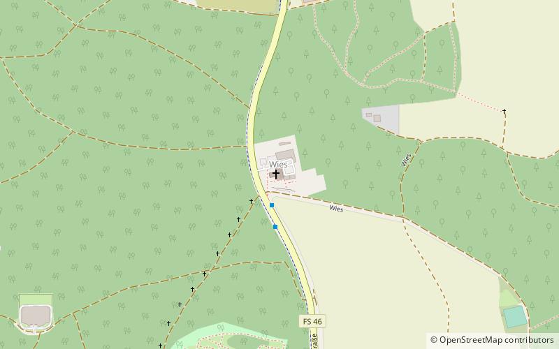
The Wieskirche near Freising is a Catholic pilgrimage church "Zum gegeißelten Heiland" near Freising in Upper Bavaria. The curacy is located in the north of Freising at the edge of the forest on the federal road 301 in the direction of Zolling. The church is the destination of the Way of the Cross to the Wies.
Architectural style: BaroqueCoordinates: 48°25'9"N, 11°44'51"E
Day trips
Wieskirche – popular in the area (distance from the attraction)
Nearby attractions include: Schafhof - Europäisches Künstlerhaus Oberbayern, Isarsteg Nord, Bürgerturm, Pallotti-Kirche St. Johannes.
Frequently Asked Questions (FAQ)
How to get to Wieskirche by public transport?
The nearest stations to Wieskirche:
Bus
Bus
- Wies • Lines: 602/50, 603/50 (2 min walk)
- Waldfriedhof • Lines: 620, 621, 640 (12 min walk)


