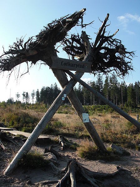
Lothar Path, Black Forest National Park

Gallery (2)
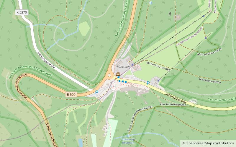
Map
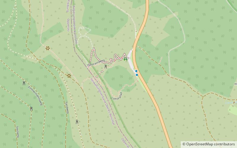
Map
Gallery
Facts and practical information
The Lothar Path is a forest experience and educational path in the Schliffkopf Nature Reserve by the Black Forest High Road between Oppenau and Baiersbronn on the B 500 in the Northern Black Forest. The name of the windthrow educational trail is derived from Hurricane Lothar, which tore through the forest here on 26 December 1999 with wind velocities of up to 200 km/h creating a wide swathe of debris. ()
Address
Black Forest National Park
ContactAdd
Social media
Add
Day trips