Kniebis
#1433 among destinations in Germany


Facts and practical information
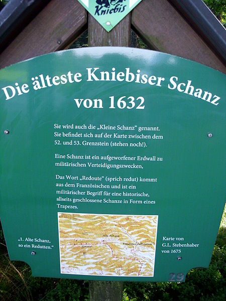
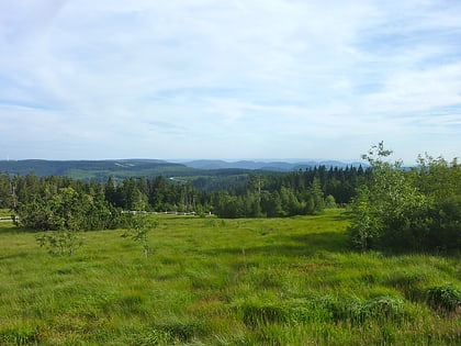
The Kniebis is a 970 -metre-high mountain ridge in the Black Forest and the name of a village to the south which is a dispersed settlement. The Kniebis mountain rises in the state of Baden-Württemberg, Germany. ()
Baden-WürttembergGermany
Kniebis plan & book
Unleash the traveler in you — discover the cheapest flight deals, find the perfect hotel or hostel nearby, and search for the best car rental prices. Travel at your own pace to discover new places and enjoy your journey.
Kniebis – popular in the area (distance from the attraction)
Nearby attractions include: All Saints Waterfalls, Sankenbach Waterfalls, Burgbach Waterfall, Reichenbach Priory.
 Nature, Natural attraction, Waterfall
All Saints Waterfalls, Black Forest National Park
156 min walk • Nestled in the heart of the enchanting Black Forest National Park in Oppenau, Germany, the All Saints Waterfalls (Allerheiligen Wasserfälle) offer a natural spectacle that captivates the hearts of tourists and nature enthusiasts alike.
 Nature, Natural attraction, Waterfall
Sankenbach Waterfalls, Baiersbronn
51 min walk • The Sankenbach Waterfalls are a cascade southwest of the village of Baiersbronn in the Black Forest in Germany. The Sankenbach flows over the waterfalls, dropping a total of 40 metres.
 Nature, Natural attraction, Waterfall
Burgbach Waterfall, Bad Rippoldsau-Schapbach
127 min walk • The Burgbach Waterfall in the vicinity of Bad Rippoldsau-Schapbach in the Black Forest has a drop of 15 metres and a total height of 32 metres making it one of the highest free falling waterfalls in Germany.
 Sacred and religious sites, Monastery, Vernacular architecture
Reichenbach Priory, Baiersbronn
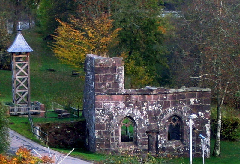
153 min walk • Reichenbach Monastery or Priory was a house of the Benedictine Order, located at Klosterreichenbach, now part of Baiersbronn in Baden-Württemberg in Germany.
 Nature, Natural attraction, Lake
Glaswaldsee
97 min walk • Nestled in the heart of the Black Forest, Glaswaldsee is a serene lake that embodies the tranquil beauty of Germany's natural landscapes. This hidden gem is a true haven for nature enthusiasts and those seeking a peaceful retreat from the hustle and bustle of urban...
 Nature, Natural attraction, Lake
Sankenbachsee
56 min walk • Nestled in the heart of the Black Forest, Sankenbachsee is a serene lake that epitomizes the tranquil beauty of rural Germany. This natural lake, formed by glacial activity, is a hidden gem that attracts nature lovers and hikers seeking respite from the bustle of city...
 Nature, Natural attraction, Lake
Buhlbachsee, Black Forest National Park
72 min walk • The Buhlbachsee is a tarn in the northern Black Forest on the southwestern edge of the parish of Baiersbronn in the county of Freudenstadt in Baden-Württemberg. Since 1 January 2014 it has been part of the Black Forest National Park.
 Nature, Natural attraction, Mountain
Schliffkopf, Black Forest National Park
139 min walk • The Schliffkopf is a mountain in the Northern Black Forest between Baiersbronn, Ottenhöfen and Oppenau. It is 1,053.6 m above sea level. The Schliffkopf lies on the Black Forest High Road in the National Park and is the site of an eponymous four-star "wellness" hotel.
 Hiking, Hiking trail
Lothar Path, Black Forest National Park
99 min walk • The Lothar Path is a forest experience and educational path in the Schliffkopf Nature Reserve by the Black Forest High Road between Oppenau and Baiersbronn on the B 500 in the Northern Black Forest.
 Forts and castles
Rinkenwall, Baiersbronn
108 min walk • The Rinkenwall or Rinkenmauer is a circular rampart fortification at the southeastern tip of the Rinkenkopf mountain above the Murg valley near the village of Baiersbronn in the county of Freudenstadt in the south German state of Baden-Württemberg.
 Nature, Natural attraction, Mountain
Rinkenkopf, Baiersbronn
108 min walk • The Rinkenkopf is a mountain, 760 m high, on the territory of Baiersbronn in the Northern Black Forest. The wooded mountain ridge is bounded in the south by the Murg valley and in the northeast by the valley of the Tonbach. To the northwest a roughly 50-metre-deep saddle separates it from the foothills of the Grindenschwarzwald.


