Wörschberger Hohl, Dirmstein
Map

Map

Facts and practical information
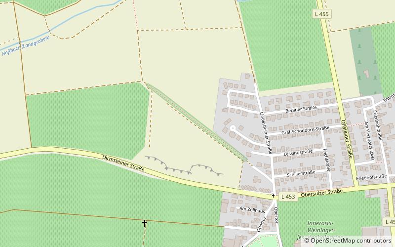
The Wörschberger Hohl is a hollow way in the Feldgemarkung of the Rhineland-Palatinate local community of Dirmstein, which is classified as a natural monument with the list number ND-7332-519. Along with the Chorbrünnel, the Hohlweg is the main destination of the Chorbrünnel circular trail, which was opened in 2006.
Elevation: 417 ft a.s.l.Coordinates: 49°34'8"N, 8°14'28"E
Address
Dirmstein
ContactAdd
Social media
Add
Day trips
Wörschberger Hohl – popular in the area (distance from the attraction)
Nearby attractions include: Burg Neuleiningen, Burg Battenberg, Historic Toy Museum, Eckbachweiher.


