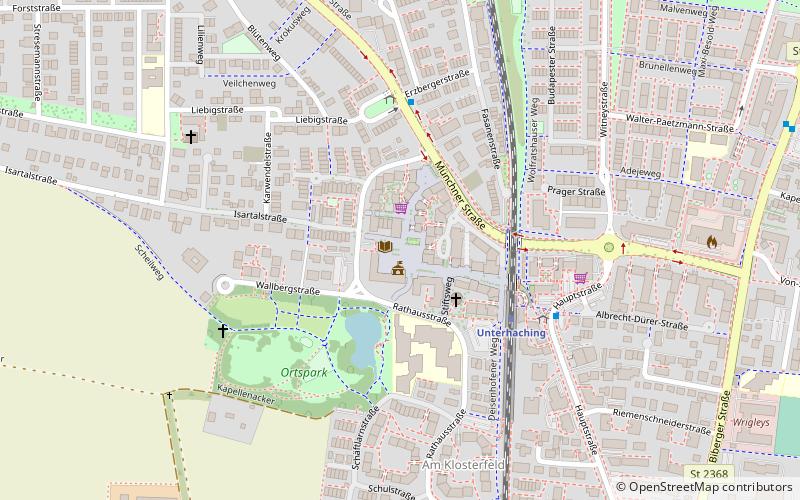
Unterhaching, Munich
Map

Map

Facts and practical information
Unterhaching is the second largest municipality in the district of Munich in Bavaria, Germany, located to the south of Munich city centre and easily accessible via two federal motorways, Bundesautobahn_8 and Bundesautobahn 995, and also on the Munich S-Bahn, connecting Unterhaching to Marienplatz in less than 20 minutes. The municipality is best known for its football club SpVgg Unterhaching, who played in the Bundesliga in 1999–2001 and is also home to a CO2 neutral district heating network. ()
Day trips
Unterhaching – popular in the area (distance from the attraction)
Nearby attractions include: PEP Perlacher Einkaufspassagen, Waldwirtschaft, Sportpark Unterhaching, MVG Museum.
Frequently Asked Questions (FAQ)
How to get to Unterhaching by public transport?
The nearest stations to Unterhaching:
Train
Bus
Train
- Unterhaching (4 min walk)
- Fasanenpark (24 min walk)
Bus
- Pittinger Platz • Lines: 220, 220V (4 min walk)
- Jahnstraße • Lines: 217, 220, 220V, 221, 224 (10 min walk)


