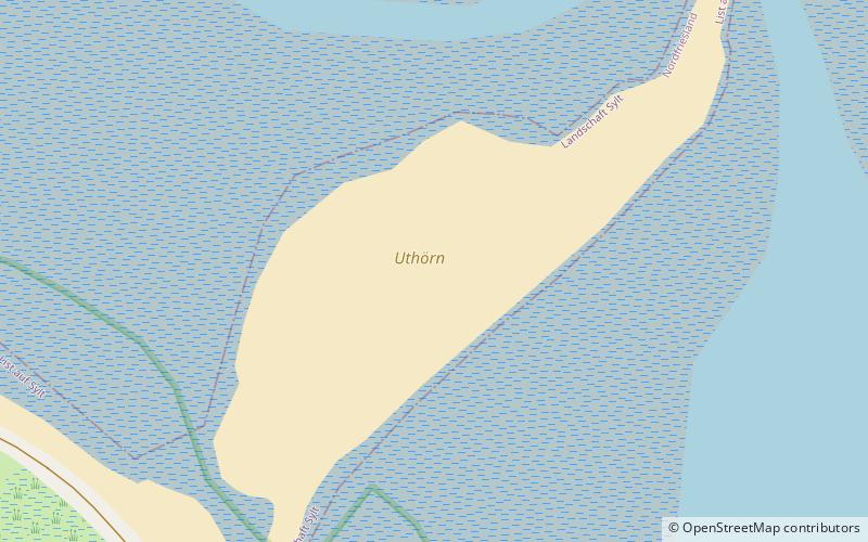
Uthörn, Schleswig-Holstein Wadden Sea National Park
Map

Map

Facts and practical information
Alternative names: Area: 32.12 acres (0.0502 mi²)Maximum elevation: 13 ftArchipelago: North Frisian IslandsCoordinates: 55°2'9"N, 8°25'50"E
Address
Schleswig-Holstein Wadden Sea National Park
ContactAdd
Social media
Add
Day trips
Uthörn – popular in the area (distance from the attraction)
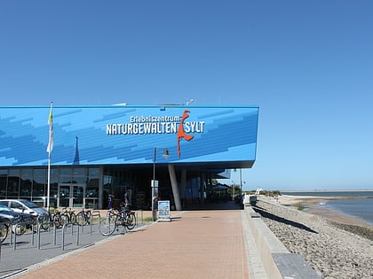
Nearby attractions include: Rotes Kliff lighthouse, Rotes Kliff, Erlebniszentrum Naturgewalten Sylt, Rotes Kliff.
Frequently Asked Questions (FAQ)
How to get to Uthörn by public transport?
The nearest stations to Uthörn:
Bus
Bus
- List, Am Brünk • Lines: 1 (26 min walk)
- List, DJH List • Lines: 1 (28 min walk)


