Schloßplatz, Berlin
Map
Gallery
Facts and practical information
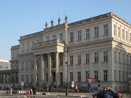
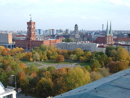
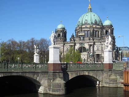
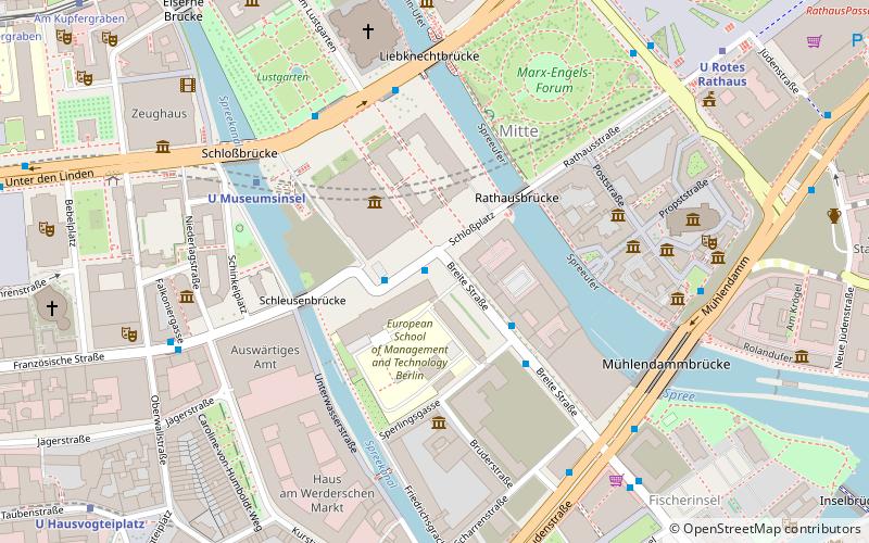
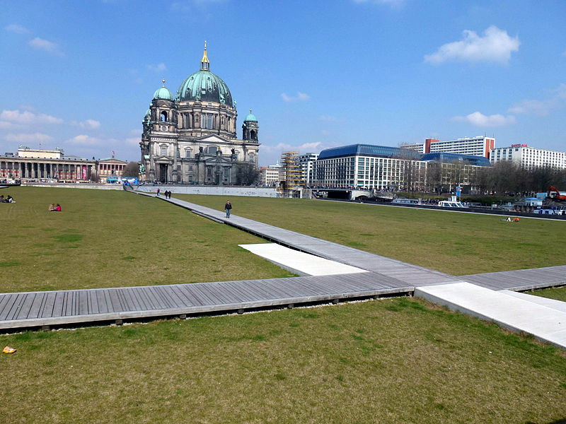
Schloßplatz is a square located on Museum Island in Berlin, Germany. It measures about 225 m by 175 m, with its long side oriented on an axis approximately southwest/northeast. At its west corner is the Schlossbrücke, from which Unter den Linden leads west to the Brandenburg Gate. From the same corner, Karl-Liebknecht-Straße runs northeast alongside the square and on to Alexanderplatz. Until the early 20th century, only the square south of the palace was so named, the square north of it being the Lustgarten. ()
Address
MitteBerlin
ContactAdd
Social media
Add
Day trips
Schloßplatz – popular in the area (distance from the attraction)
Nearby attractions include: Berlin Cathedral, Lustgarten, Humboldt Box, Ephraim-Palais.
Frequently Asked Questions (FAQ)
Which popular attractions are close to Schloßplatz?
Nearby attractions include Neuer Marstall, Berlin (2 min walk), Kupfergraben, Berlin (2 min walk), Humboldt Forum, Berlin (3 min walk), Berlin Palace, Berlin (3 min walk).
How to get to Schloßplatz by public transport?
The nearest stations to Schloßplatz:
Metro
Tram
Train
Bus
Metro
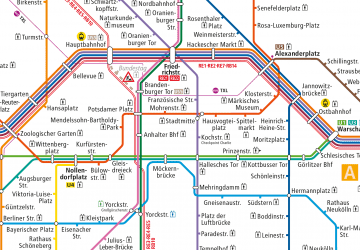
- U Museumsinsel • Lines: U5 (5 min walk)
- U Rotes Rathaus • Lines: U5 (8 min walk)
Tram
- Spandauer Straße/Marienkirche • Lines: M4, M5, M6 (8 min walk)
- Am Kupfergraben • Lines: 12, M1 (11 min walk)
Train
- Berlin Alexanderplatz (14 min walk)
- Berlin Friedrichstraße (18 min walk)
Bus
- Alexanderplatz • Lines: 002, 057, 065, 070, 125, 1385, 170, 270, 370, N13, N1385, N232, N44, N70 (18 min walk)

 Metro
Metro


