Friedhof Stoffeln, Düsseldorf
Map

Gallery
Facts and practical information
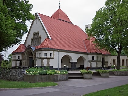
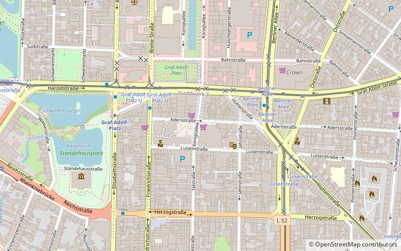
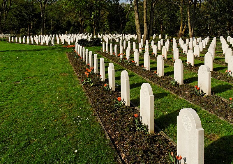
Stoffeler Friedhof is a cemetery in the old south of the North Rhine-Westphalian state capital Düsseldorf. It is located in the district of Oberbilk and has a size of 42 hectares. The cemetery is adjacent to the Südpark.
Coordinates: 51°12'6"N, 6°47'54"E
Address
Stadtbezirke 03 (Oberbilk)Düsseldorf
ContactAdd
Social media
Add
Day trips
Friedhof Stoffeln – popular in the area (distance from the attraction)
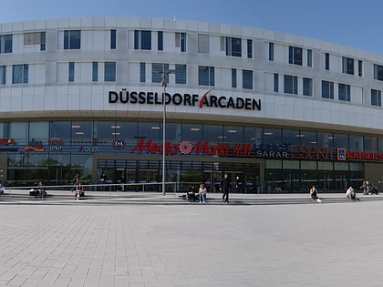
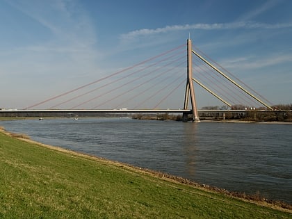
Nearby attractions include: Botanical garden of Düsseldorf, Düsseldorf Arcaden, Flehe Bridge, FFT Kammerspiele.
Frequently Asked Questions (FAQ)
Which popular attractions are close to Friedhof Stoffeln?
Nearby attractions include Südpark, Düsseldorf (6 min walk), Volksgarten, Düsseldorf (9 min walk), Heinrich Heine University Düsseldorf, Düsseldorf (18 min walk), St. Suitbertus, Düsseldorf (19 min walk).
How to get to Friedhof Stoffeln by public transport?
The nearest stations to Friedhof Stoffeln:
Metro
Tram
Bus
Train
Metro
- Universität Nord / Christophstraße • Lines: U71, U73, U83 (9 min walk)
- Uni-Kliniken • Lines: U71, U73, U83 (11 min walk)
Tram
- Universität Nord / Christophstraße • Lines: 704 (9 min walk)
- Uni-Kliniken • Lines: 704 (11 min walk)
Bus
- Uni-Kliniken • Lines: 723, 780, 782, 785, 827, 893, Ne7, Sb50 (10 min walk)
- Südpark • Lines: 723, 727, 731, 735, 827, Ne7 (13 min walk)
Train
- Düsseldorf-Oberbilk (17 min walk)
- Düsseldorf Volksgarten (17 min walk)
