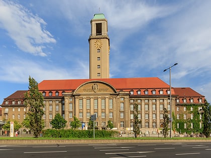
Rathaus Spandau, Berlin
Map
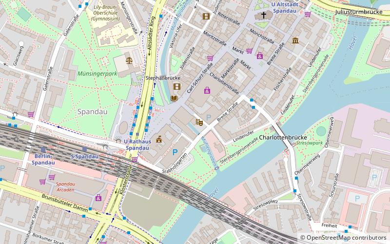
Map

Facts and practical information
The Rathaus Spandau is the town hall of the borough of Spandau in the western suburbs of Berlin, the capital city of Germany. It was designed by Heinrich Reinhardt and Georg Süßenguth, and was built between 1910 and 1913. Until 1920, when Spandau was incorporated into Greater Berlin, it was the city hall of the independent city of Spandau. ()
Address
Mauerstr. 6SpandauBerlin
ContactAdd
Social media
Add
Day trips
Rathaus Spandau – popular in the area (distance from the attraction)
Nearby attractions include: Spandau Citadel, St. Marien am Behnitz, Altstadt Spandau, Vor dem Kombibad.
Frequently Asked Questions (FAQ)
Which popular attractions are close to Rathaus Spandau?
Nearby attractions include Altstadt Spandau, Berlin (4 min walk), Charlotten Bridge, Berlin (5 min walk), Spandau, Falkensee (5 min walk), St. Marien am Behnitz, Berlin (9 min walk).
How to get to Rathaus Spandau by public transport?
The nearest stations to Rathaus Spandau:
Metro
Train
Metro
- U Rathaus Spandau • Lines: U7 (3 min walk)
- U Altstadt Spandau • Lines: U7 (8 min walk)
Train
- Berlin-Spandau (8 min walk)
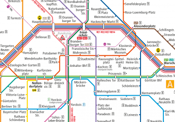 Metro
Metro
