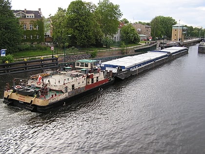
Altstadt Spandau, Berlin
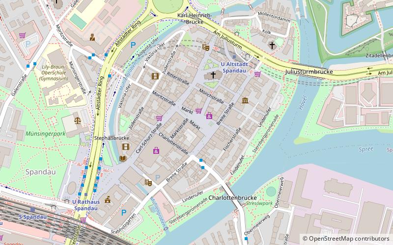
Map
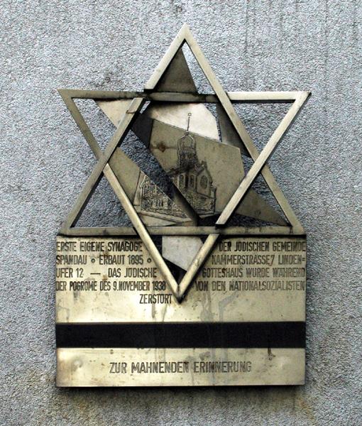
Gallery
Facts and practical information
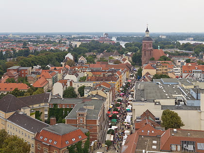
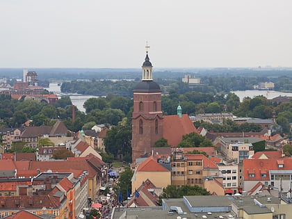
Altstadt Spandau is the historic centre of the Spandau borough in the western suburbs of Berlin, situated on the right bank of the Havel river by its confluence with the Spree tributary. It arose near the site of a former Slavic gord during the German eastward expansion in the early 13th century. A castle at Spandowe, erected on a Havel island to secure the eastern borderlands of the Margraviate of Brandenburg, was already documented in an 1197 deed issued by the Ascanian margrave Otto II. ()
Day trips
Altstadt Spandau – popular in the area (distance from the attraction)
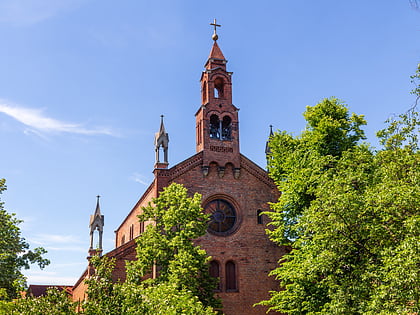
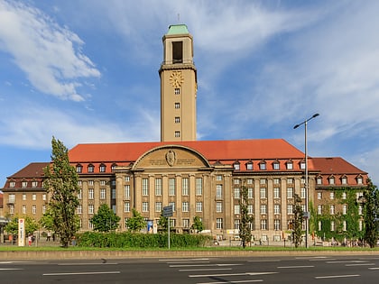
Nearby attractions include: Spandau Citadel, St. Marien am Behnitz, Rathaus Spandau, Spandau.
Frequently Asked Questions (FAQ)
Which popular attractions are close to Altstadt Spandau?
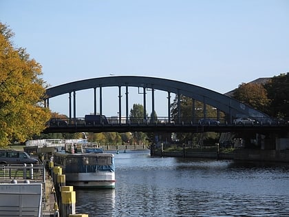
Nearby attractions include Rathaus Spandau, Berlin (4 min walk), Charlotten Bridge, Berlin (4 min walk), St. Marien am Behnitz, Berlin (5 min walk), Spandau, Falkensee (8 min walk).
How to get to Altstadt Spandau by public transport?
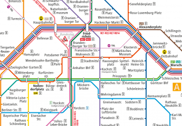
The nearest stations to Altstadt Spandau:
Metro
Train
Metro
- U Altstadt Spandau • Lines: U7 (4 min walk)
- U Rathaus Spandau • Lines: U7 (6 min walk)
Train
- Berlin-Spandau (11 min walk)
 Metro
Metro
