St. Cecilia's Church, Cologne
Map
Gallery
Facts and practical information
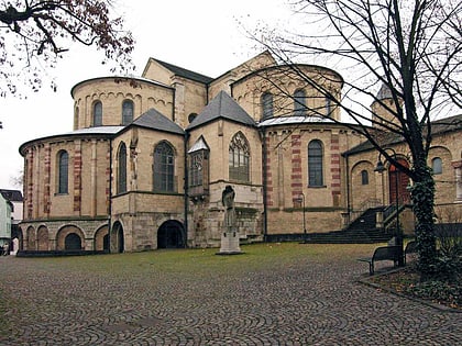
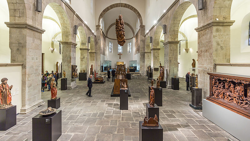
St. Cecilia's Church is one of the twelve Romanesque churches in Cologne’s old city, maintained by the Foundation of Romanesque Churches in Cologne. The present building, little changed since its inception, dates from 1130-60. Since 1956, the church has been the home of the Schnütgen Museum for medieval art. ()
Local name: St. Cäcilien Architectural style: Romanesque architectureCoordinates: 50°56'5"N, 6°57'6"E
Address
Cäcilienkloster 29Innenstadt (Altstadt-Süd)Cologne 50676
Contact
+49 221 22131355
Social media
Add
Day trips
St. Cecilia's Church – popular in the area (distance from the attraction)
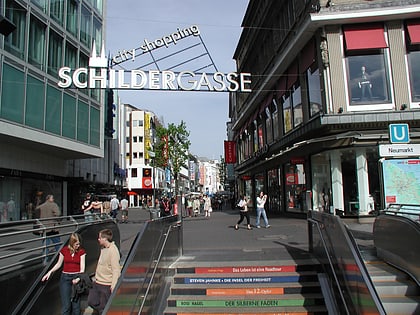
Nearby attractions include: Schildergasse, Hohe Straße, Käthe Kollwitz Museum, Wallraf-Richartz Museum.
Frequently Asked Questions (FAQ)
Which popular attractions are close to St. Cecilia's Church?
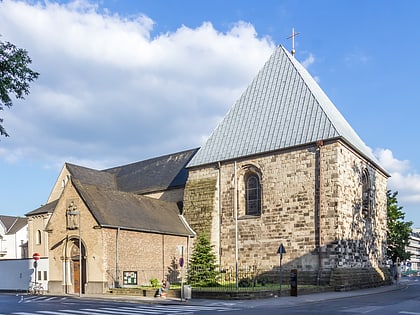
Nearby attractions include St Peter's Church, Cologne (1 min walk), Museum Schnütgen, Cologne (2 min walk), Stadtbibliothek Köln, Cologne (3 min walk), Antoniterkirche, Cologne (4 min walk).
How to get to St. Cecilia's Church by public transport?
The nearest stations to St. Cecilia's Church:
Tram
Bus
Light rail
Train
Tram
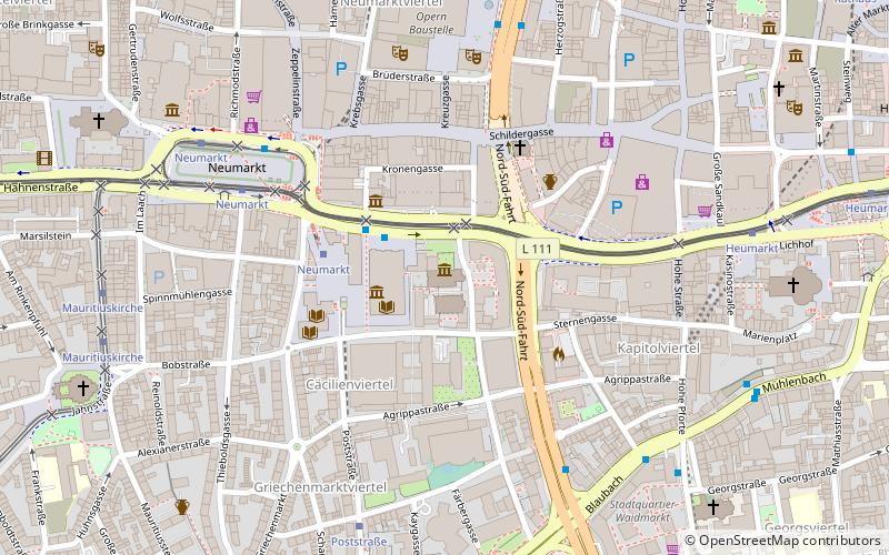
- Neumarkt • Lines: 1, 16, 18, 3, 4, 7, 9 (5 min walk)
Bus
- Neumarkt • Lines: 136, 146 (5 min walk)
- Mühlenbach • Lines: 978 (8 min walk)
Light rail
- Rathaus • Lines: 5 (11 min walk)
Train
- Cologne central station (17 min walk)
- Köln Süd (21 min walk)

