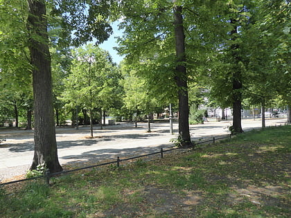
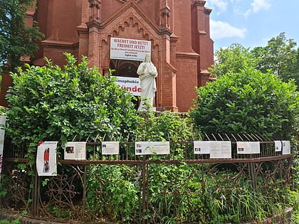
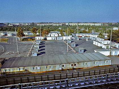
Prenzlauer Allee, Berlin
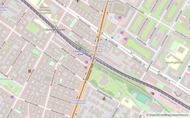
Map
Gallery
Facts and practical information
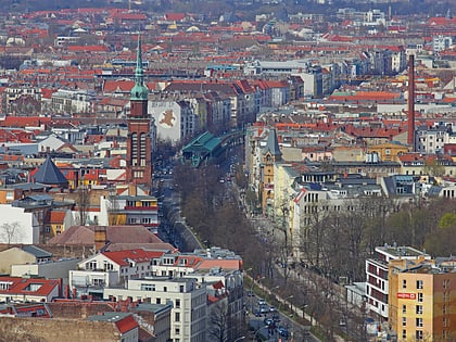
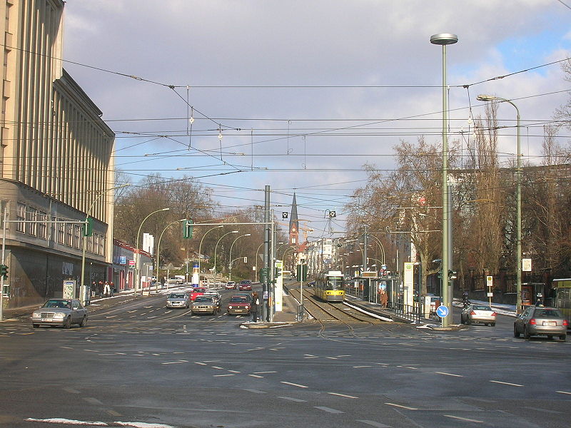
Prenzlauer Allee is a major avenue in the Prenzlauer Berg district of the German capital Berlin and one of the main thoroughfares of the north-eastern Pankow borough. The arterial road connects the centre of former East Berlin at Alexanderplatz via Karl-Liebknecht-Straße with the far north-eastern districts and the orbital motorway Berliner Ring via the Bundesautobahn 114. ()
Address
Pankow (Prenzlauer Berg)Berlin
ContactAdd
Social media
Add
Day trips
Prenzlauer Allee – popular in the area (distance from the attraction)
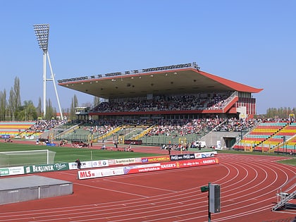
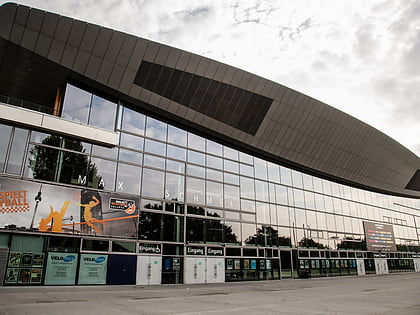
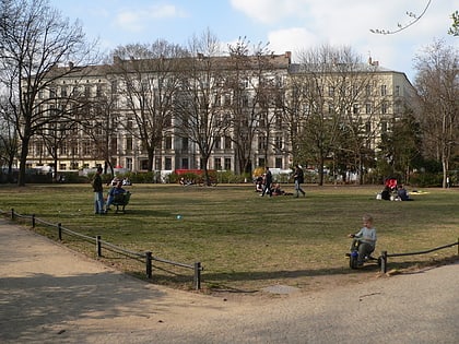
Nearby attractions include: Schönhauser Allee, Friedrich-Ludwig-Jahn-Sportpark, Max-Schmeling-Halle, Kollwitzplatz.
Frequently Asked Questions (FAQ)
Which popular attractions are close to Prenzlauer Allee?
Nearby attractions include Zeiss Major Planetarium, Berlin (3 min walk), Ausland, Berlin (9 min walk), Prenzlauer Berg, Berlin (9 min walk), Ernst-Thälmann-Park, Berlin (10 min walk).
How to get to Prenzlauer Allee by public transport?
The nearest stations to Prenzlauer Allee:
Tram
Metro
Tram
- S Prenzlauer Allee • Lines: M2 (2 min walk)
- Fröbelstraße • Lines: M2 (5 min walk)
Metro
- U Eberswalder Straße • Lines: U2 (17 min walk)
- U Schönhauser Allee • Lines: U2 (18 min walk)

 Metro
Metro