Bornholmer Straße border crossing, Berlin
Map
Gallery
Facts and practical information
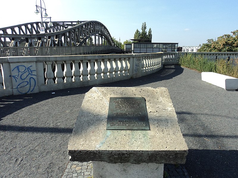
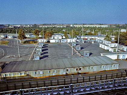
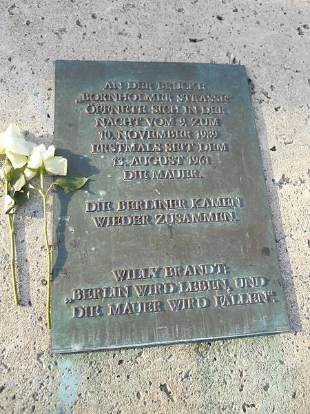
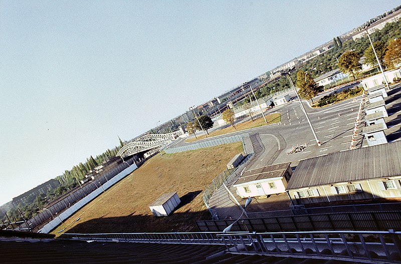
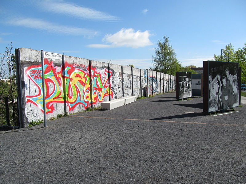
The Bornholmer Straße border crossing was one of the border crossings between East Berlin and West Berlin between 1961 and 1990. The crossing was named after the street on which it is located, Bornholmer Straße, which in turn was named after the Danish Baltic Sea island of Bornholm. The actual border between East and West Berlin ran along railway lines which were crossed by the Bösebrücke. ()
Address
Mitte (Gesundbrunnen)Berlin
ContactAdd
Social media
Add
Day trips
Bornholmer Straße border crossing – popular in the area (distance from the attraction)
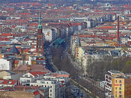
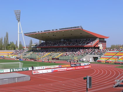
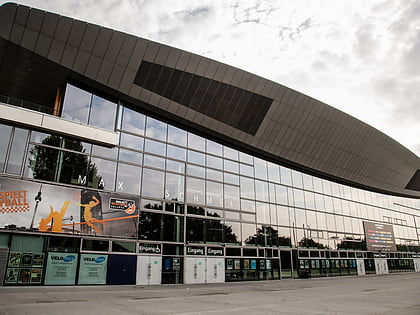
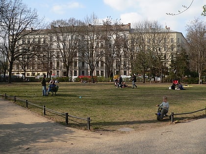
Nearby attractions include: Schönhauser Allee, Friedrich-Ludwig-Jahn-Sportpark, Max-Schmeling-Halle, Kollwitzplatz.
Frequently Asked Questions (FAQ)
Which popular attractions are close to Bornholmer Straße border crossing?
Nearby attractions include Kopenhagener Straße, Berlin (16 min walk), Gesundbrunnen, Berlin (16 min walk), Max-Schmeling-Halle, Berlin (19 min walk), Mauerpark, Berlin (21 min walk).
How to get to Bornholmer Straße border crossing by public transport?
The nearest stations to Bornholmer Straße border crossing:
Tram
Train
Metro
Tram
- S Bornholmer Straße • Lines: 50, M13 (3 min walk)
- Björnsonstraße • Lines: 50, M13 (6 min walk)
Train
- Berlin Gesundbrunnen (14 min walk)
Metro
- U Gesundbrunnen • Lines: U8 (15 min walk)
- U Vinetastraße • Lines: U2 (19 min walk)


 Metro
Metro