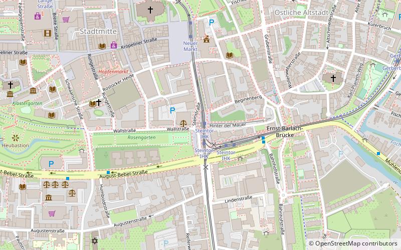
Steintor, Rostock
Map

Map

Facts and practical information
The Stone Gate in its present form is a gate built in 1574 to 1577 in the Renaissance architectural style in the south of the historic Rostock city fortifications. It replaced the older gate, which was sanded in 1566. Along with the Kröpeliner Tor, the Petritor and the Mühlentor, the Steintor was one of the four main gates of the city of Rostock.
Coordinates: 54°5'12"N, 12°8'27"E
Address
1 SteinstraßeOrtsamt 6 (Nördliche Altstadt)Rostock
Contact
+49 381 3812222
Social media
Add
Day trips
Steintor – popular in the area (distance from the attraction)
Nearby attractions include: Petrikirche, Rostocker Hof, Marienkirche, Zoological Collection Rostock.
Frequently Asked Questions (FAQ)
Which popular attractions are close to Steintor?
Nearby attractions include Rostocker Greifen, Rostock (1 min walk), Ehrenmal für die Opfer des Faschismus, Rostock (1 min walk), Lagebuschturm, Rostock (2 min walk), Schifffahrtsmuseum - Societät Rostock maritim e.V., Rostock (2 min walk).
How to get to Steintor by public transport?
The nearest stations to Steintor:
Tram
Bus
Ferry
Train
Tram
- Steintor IHK • Lines: 1, 2, 3, 4, 5, 6 (1 min walk)
- Neuer Markt • Lines: 1, 4, 5, 6 (5 min walk)
Bus
- Steintor IHK • Lines: F1, F2 (2 min walk)
- Paulstraße • Lines: F2 (8 min walk)
Ferry
- Schnickmannstraße • Lines: Fähre Gehlsdorf - Schnickmannstr (14 min walk)
- Kabutzenhof • Lines: Fähre Kabutzenhof - Gehlsdorf (31 min walk)
Train
- Rostock Hauptbahnhof (18 min walk)
- Rostock-Kassebohm (27 min walk)


