Stadthafen Rostock, Rostock
Map

Map

Facts and practical information
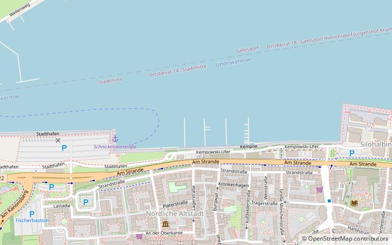
Rostock City Harbor is the part of the harbor located on the southern bank of the Lower Warnow River north of the historic Old Town of the Hanseatic City of Rostock.
Coordinates: 54°5'36"N, 12°8'14"E
Day trips
Stadthafen Rostock – popular in the area (distance from the attraction)
Nearby attractions include: Petrikirche, Rostocker Hof, Rostocker Yachtclub e.V., Marienkirche.
Frequently Asked Questions (FAQ)
Which popular attractions are close to Stadthafen Rostock?
Nearby attractions include Mönchentor, Rostock (5 min walk), Rostock astronomical clock, Rostock (8 min walk), Marienkirche, Rostock (8 min walk), Rostock University of Music and Theatre, Rostock (9 min walk).
How to get to Stadthafen Rostock by public transport?
The nearest stations to Stadthafen Rostock:
Ferry
Tram
Bus
Train
Ferry
- Schnickmannstraße • Lines: Fähre Gehlsdorf - Schnickmannstr (4 min walk)
- Kabutzenhof • Lines: Fähre Kabutzenhof - Gehlsdorf (24 min walk)
Tram
- Lange Straße • Lines: 1, 4, 5, 6 (7 min walk)
- Neuer Markt • Lines: 1, 4, 5, 6 (9 min walk)
Bus
- Lange Straße • Lines: F1 (7 min walk)
- Speicher • Lines: F2 (8 min walk)
Train
- Rostock Hauptbahnhof (28 min walk)
- Rostock-Kassebohm (37 min walk)


