St. Maria ad Ortum, Cologne
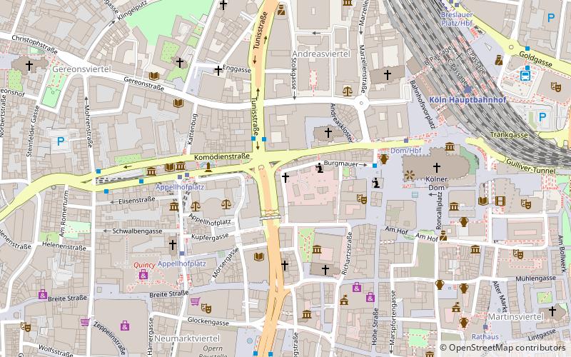
Map

Gallery

Facts and practical information
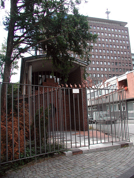
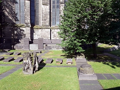
Maria ad Ortum was a three-nave late Romanesque church of the Cistercian order "zo sent Marie garden", Mariengarten, at Cologne, which was abolished and demolished during the French period. It is still commemorated by a street name and a chapel bearing its old Latin name.
Architectural style: Romanesque architectureCoordinates: 50°56'28"N, 6°57'13"E
Address
Innenstadt (Altstadt-Nord)Cologne
ContactAdd
Social media
Add
Day trips
St. Maria ad Ortum – popular in the area (distance from the attraction)
Nearby attractions include: Hohe Straße, Cologne Cathedral, Cologne Cathedral Window, Museum Ludwig.
Frequently Asked Questions (FAQ)
Which popular attractions are close to St. Maria ad Ortum?
Nearby attractions include St. Andrew's Church, Cologne (2 min walk), Museum für Angewandte Kunst, Cologne (3 min walk), Kolping, Cologne (3 min walk), Taubenbrunnen, Cologne (4 min walk).
How to get to St. Maria ad Ortum by public transport?
The nearest stations to St. Maria ad Ortum:
Tram
Train
Light rail
Bus
Tram
- Appellhofplatz • Lines: 16, 18, 3, 4, 5 (5 min walk)
- Dom/Hbf • Lines: 16, 18, 5 (5 min walk)
Train
- Cologne central station (7 min walk)
- Köln Hansaring (15 min walk)
Light rail
- Rathaus • Lines: 5 (9 min walk)
Bus
- Breslauer Platz/Hbf • Lines: 124, 132, 171, 250, 260, 978, N26, Sb40 (9 min walk)
- Neumarkt • Lines: 136, 146 (11 min walk)


