Heilig-Kreuz, Aachen
Map
Gallery
Facts and practical information
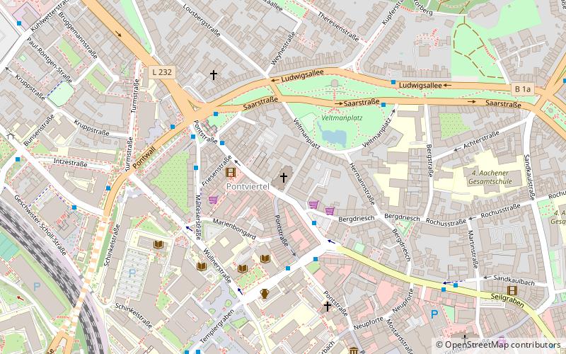
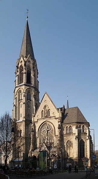
Heilig Kreuz is a city church in Aachen. It was consecrated in 1902 and is located in the Pontviertel, a northern area of the city on Pontstraße near the former Ponttor city gate. It is thus in the immediate vicinity of the buildings of the Rheinisch Westfälische Technische Hochschule.
Address
Pontstraße 148Aachen Mitte (Innenstadt)Aachen 52062
Contact
+49 241 30562
Social media
Add
Day trips
Heilig-Kreuz – popular in the area (distance from the attraction)
Nearby attractions include: City Hall, Statue of Charlemagne, Ponttor, Aachen Cathedral Treasury.
Frequently Asked Questions (FAQ)
Which popular attractions are close to Heilig-Kreuz?
Nearby attractions include Ponttor, Aachen (3 min walk), Ehrenmal, Aachen (4 min walk), Theresienkirche, Aachen (5 min walk), Botanischer Garten Aachen, Aachen (6 min walk).
How to get to Heilig-Kreuz by public transport?
The nearest stations to Heilig-Kreuz:
Bus
Train
Bus
- Driescher Gässchen • Lines: 1, 13, 147, 17, 173, 27, 33, 37, 4, 41, 43, 44, 47, 7, 73, 74, N 2, N 4 (3 min walk)
- Ponttor • Lines: 1, 13, 147, 17, 173, 27, 3, 30, 33, 37, 41, 43, 44, 47, 7, 73, 74, N 2, N 4 (4 min walk)
Train
- Aachen West (13 min walk)
- Aachen Schanz (21 min walk)


