Christophoruskirche, Wiesbaden
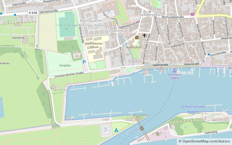
Map

Map

Facts and practical information
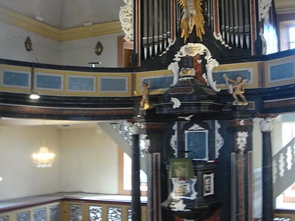
The Christophoruskirche is a Protestant church in the borough of Schierstein, Wiesbaden, Germany. It was built in 1752 to 1754 in the style of the late Baroque and Rococo. ()
Alternative names: Completed: 15 September 1754 (271 years ago)Architectural style: BaroqueCoordinates: 50°2'31"N, 8°11'36"E
Address
Zehntenhofstraße 20Schierstein (Schiersteiner Hafen)Wiesbaden
Contact
+49 611 22350
Social media
Add
Day trips
Christophoruskirche – popular in the area (distance from the attraction)
Nearby attractions include: Schierstein Bridge, Kallebad, Rettbergsaue, Schierstein.
Frequently Asked Questions (FAQ)
Which popular attractions are close to Christophoruskirche?
Nearby attractions include Schierstein, Wiesbaden (6 min walk), Schierstein Bridge, Wiesbaden (24 min walk).
How to get to Christophoruskirche by public transport?
The nearest stations to Christophoruskirche:
Bus
Train
Bus
- Reichsapfelstraße • Lines: 171, 5, 9, X79 (6 min walk)
- Rathaus • Lines: 171, 5, 9, N3, N9, X79 (8 min walk)
Train
- Wiesbaden-Schierstein (11 min walk)
- Budenheim (35 min walk)


