Rettbergsaue, Wiesbaden
Map

Map

Facts and practical information
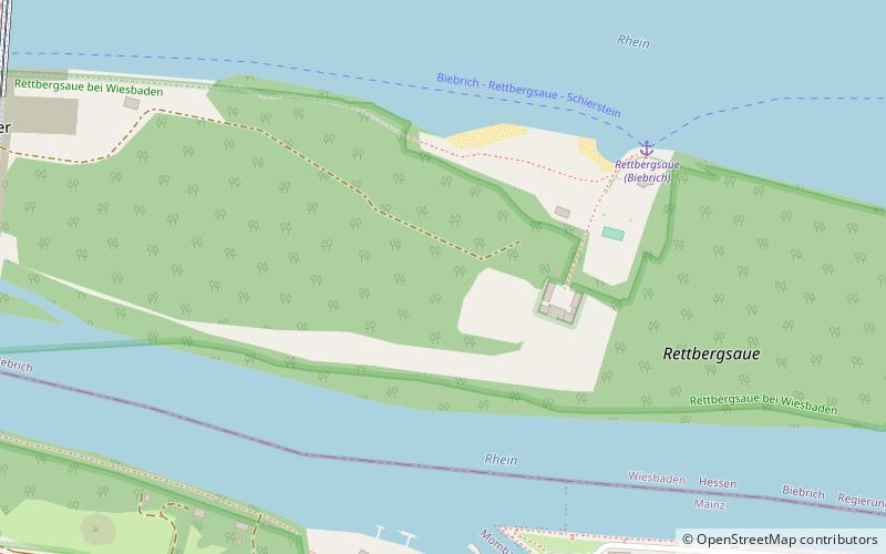
The Rettbergsaue is a natural island in the Rhine River at Wiesbaden, Germany. It is situated between the main channel of the Rhine to the north and a smaller channel, the Wachsbleicharm, in the south. The Wachsbleicharm forms the border between the federal states of Hesse and Rhineland-Palatinate. ()
Address
Biebrich (Biebricher Rettbergsau)Wiesbaden
ContactAdd
Social media
Add
Day trips
Rettbergsaue – popular in the area (distance from the attraction)
Nearby attractions include: Biebrich Palace, Christophoruskirche, Biebrich, Schierstein Bridge.
Frequently Asked Questions (FAQ)
Which popular attractions are close to Rettbergsaue?
Nearby attractions include Schierstein Bridge, Wiesbaden (12 min walk), Biebrich Palace, Wiesbaden (16 min walk), Schlosspark Biebrich, Wiesbaden (22 min walk), Schlosspark, Wiesbaden (22 min walk).
How to get to Rettbergsaue by public transport?
The nearest stations to Rettbergsaue:
Bus
Train
Bus
- Rheinhütte • Lines: 9 (11 min walk)
- Regattastraße • Lines: 9 (11 min walk)
Train
- Mainz-Mombach (23 min walk)
- Wiesbaden-Biebrich (32 min walk)


