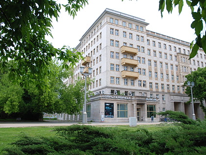
Warschauer Straße, Berlin
Map
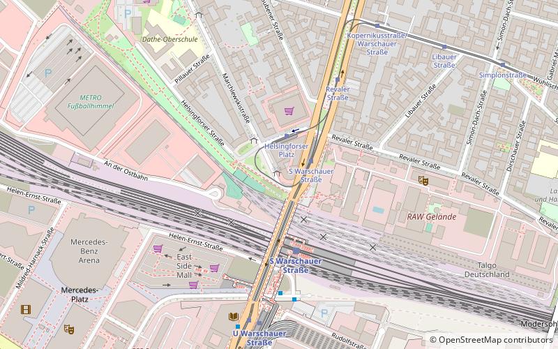
Map

Facts and practical information
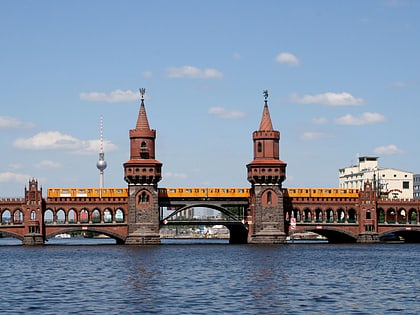
Warschauer Straße is a major thoroughfare in the Friedrichshain-Kreuzberg district of central Berlin, the capital of Germany. The street begins at Frankfurter Tor to the North and spans 1.6km South to the intersection of the Oberbaumbrücke, Mühlenstraße and Stralauer Allee. The street acts as a section of Bundesstraße 96a and the Berlin Inner Ring Road. The street is named after Warsaw, the capital of Poland. ()
Day trips
Warschauer Straße – popular in the area (distance from the attraction)
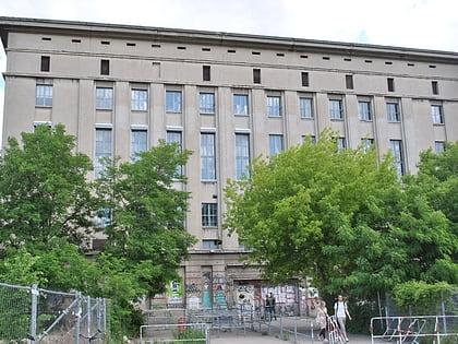
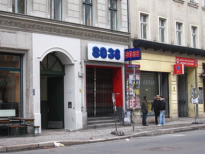
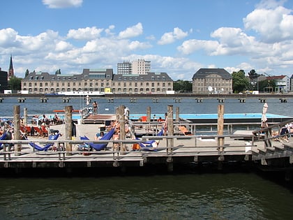
Nearby attractions include: Berghain, East Side Gallery, SO36, Badeschiff.
Frequently Asked Questions (FAQ)
When is Warschauer Straße open?
Warschauer Straße is open:
- Monday closed 4:30 am - 12:30 am &
- Tuesday 4:30 am - 12:30 am
- Wednesday 4:30 am - 12:30 am
- Thursday 4:30 am - 12:30 am
- Friday 4:30 am - 12 am
- Saturday 24h
- Sunday 24h
Which popular attractions are close to Warschauer Straße?
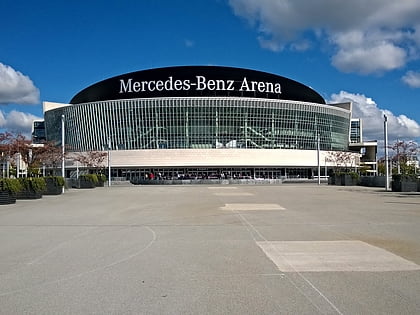
Nearby attractions include Mercedes-Benz Arena, Berlin (7 min walk), Friedrichshain, Berlin (8 min walk), Oberbaum Bridge, Berlin (12 min walk), East Side Gallery, Berlin (12 min walk).
How to get to Warschauer Straße by public transport?
The nearest stations to Warschauer Straße:
Tram
Metro
Train
Bus
Tram
- S Warschauer Straße • Lines: M10, M13 (2 min walk)
- Revaler Straße • Lines: M10, M13 (4 min walk)
Metro
- Warschauer Straße Station • Lines: U1, U3 (5 min walk)
- U Frankfurter Tor • Lines: U5 (15 min walk)
Train
- Berlin Ostbahnhof (17 min walk)
- Berlin Ostkreuz (24 min walk)
Bus
- S Ostkreuz • Lines: 240, N40 (23 min walk)
- Bahnhof Treptower Park/Fernbus • Lines: N232, N70 (32 min walk)
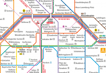 Metro
Metro