Langenhagen, Hanover

Gallery (1)
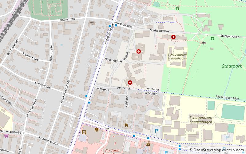
Map
Map
Facts and practical information
Langenhagen is a town in the Hanover district of Lower Saxony, Germany. ()
Getting there by public transportation
Public transportation stops near this location
- Bus
- Tram
- Train
 Bus
Bus
- Calculate routeLangenhagen, Ehlersstraße 4 min walk
- Calculate routeSchulzentrum 7 min walk
- Calculate routeLangenhagen/Zentrum 10 min walk
- Calculate routeLangenhagen Pferdemarkt 15 min walk
- Calculate routeLangenhagen Mitte 16 min walk
Day trips


Frequently Asked Questions (FAQ)
How to get to Langenhagen by public transport?
The nearest stations to Langenhagen:
Bus
Tram
Train
Bus
- Langenhagen, Ehlersstraße • Lines: 122, 470, 610, 611, 692 (4 min walk)
- Schulzentrum • Lines: 600 (7 min walk)
Tram
- Langenhagen/Zentrum • Lines: 1 (10 min walk)
Train
- Langenhagen Pferdemarkt (15 min walk)
- Langenhagen Mitte (16 min walk)