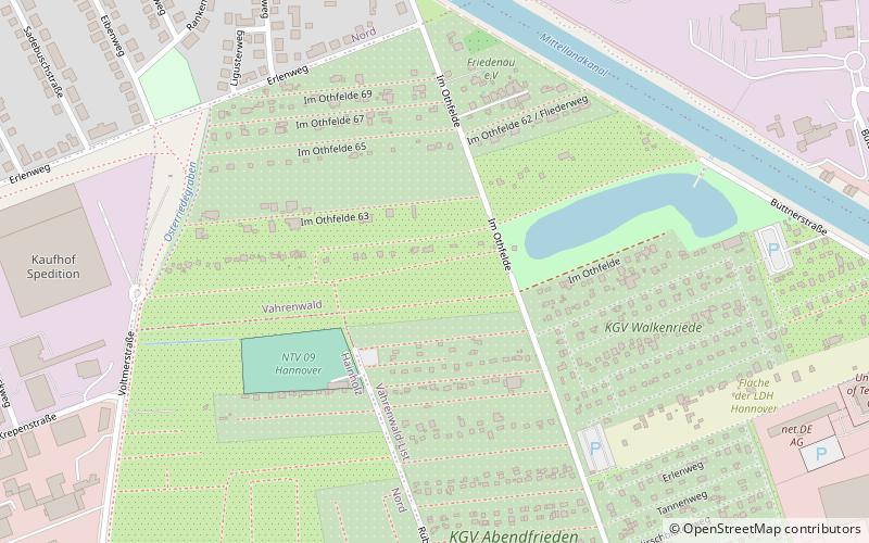
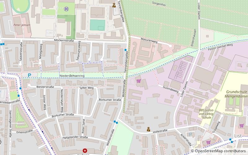
Hannover-Nordstadt, Hanover

Map
Facts and practical information
The Nordstadt is the university quarter in the German city of Hanover. Part of the borough Hanover-Nord, it has 17,684 inhabitants. ()
Address
Vahrenwald-List (Vahrenwald)Hanover
ContactAdd
Social media
Add
Day trips
Hannover-Nordstadt – popular in the area (distance from the attraction)
Nearby attractions include: Mittelland Canal, Sea Life, Berggarten, Botanischer Schulgarten Burg.
Frequently Asked Questions (FAQ)
How to get to Hannover-Nordstadt by public transport?
The nearest stations to Hannover-Nordstadt:
Bus
Tram
Train
Bus
- Eibenweg • Lines: 135 (12 min walk)
- Wohlenbergstraße • Lines: 135 (14 min walk)
Tram
- Krepenstraße • Lines: 6 (13 min walk)
- Kabelkamp • Lines: 1 (15 min walk)
Train
- Hannover-Vinnhorst (28 min walk)
- Hannover-Nordstadt (30 min walk)


