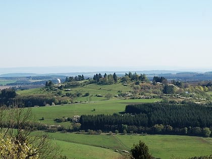
Strohner Maarchen
Map

Map

Facts and practical information
The Strohner Maarchen is a dry maar near the village of Strohn in the Volcanic Eifel region of Germany. Its bowl forms an elongated oval and has a diameter of about 210 x 140 metres. Its name stems from the fact that it is small for a maar. Together with the Pulvermaar to the north and the adjacent hill of Römerberg the Strohner Maarchen lies within the nature reserve of Pulvermaar mit Römerberg und Strohner Märchen. ()
Location
Rhineland-Palatinate
ContactAdd
Social media
Add
Day trips
Strohner Maarchen – popular in the area (distance from the attraction)
Nearby attractions include: Weinfelder Maar, Pulvermaar, Castles of Manderscheid, Hoher List Observatory.


