Pulvermaar, Gillenfeld

Gallery (4)
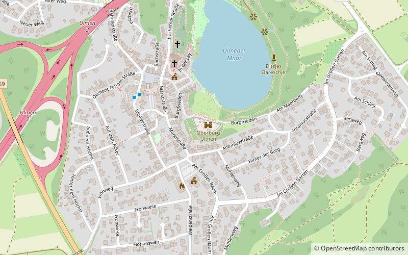
Map

Map
Gallery
Facts and practical information
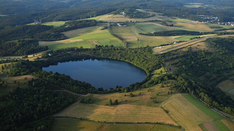
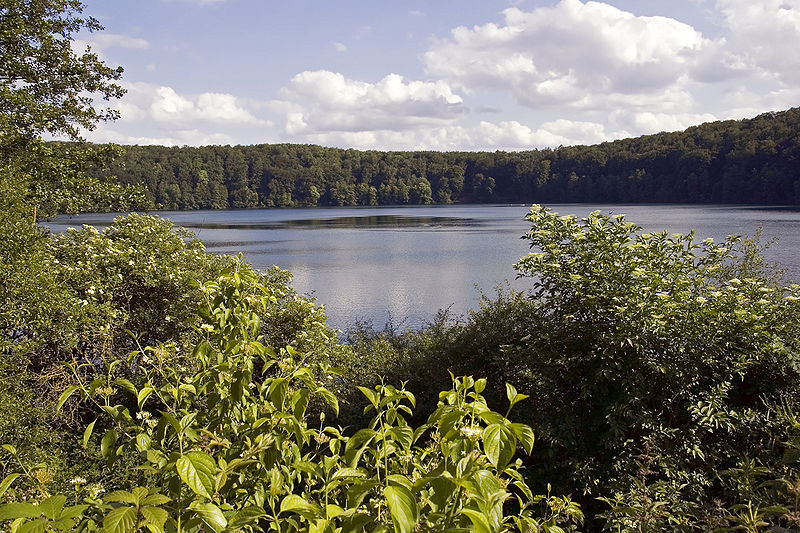
The Pulvermaar is a water-filled maar that lies southeast of Daun in the German state of Rhineland-Palatinate. Together with the Holzmaar it is one of the Gillenfeld maars. ()
Alternative names: Width: 2297 ftMaximum depth: 236 ftElevation: 1375 ft a.s.l.Coordinates: 50°7'52"N, 6°55'32"E
Address
Gillenfeld
ContactAdd
Social media
Add
Day trips