Dürres Maar

Gallery (2)
Map
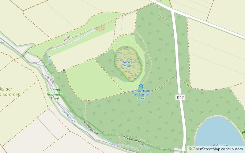
Map
Gallery
Facts and practical information
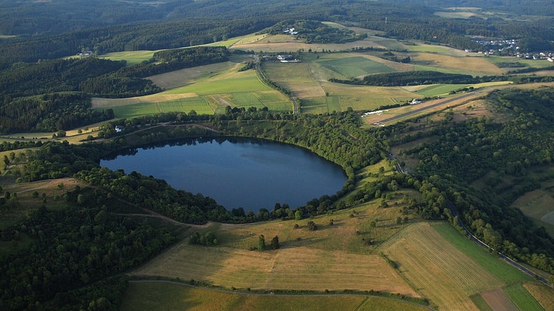
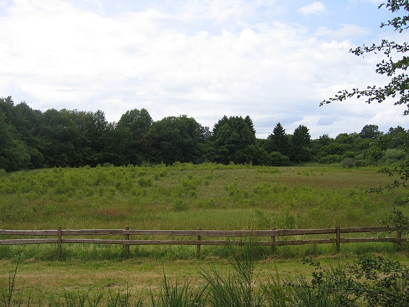
The Dürres Maar is a maar located in the vicinity of the village of Gillenfeld, Germany in the West Eifel mountains about 400 metres northwest of the Holzmaar. The Dürres Maar ist a dry maar, the original maar lake has silted up. It is surrounded by an embankment of lapilli-tuff which has only been gently eroded and has a diameter of about 290 metres. The Dürres Maar was formed more than 25,000 years ago. ()
Location
Rhineland-Palatinate
ContactAdd
Social media
Add
Day trips