Duisburg Canals, Duisburg
Map
Map

Facts and practical information
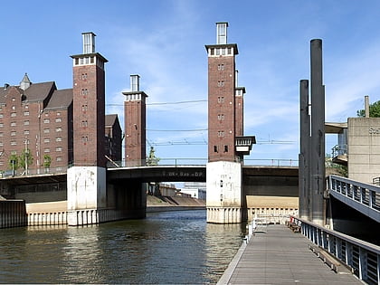
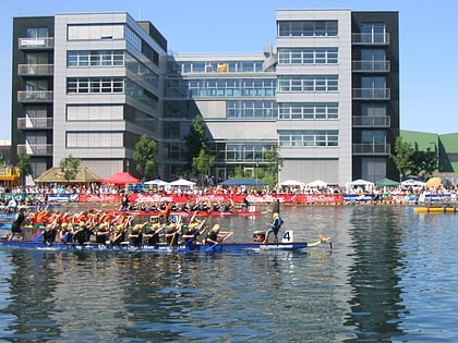
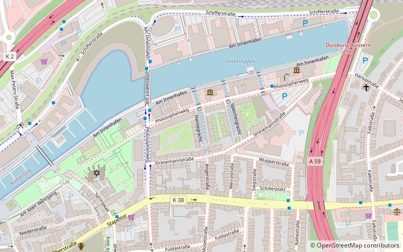
The Duisburg Canals are part of the master plan developed by Foster and Partners for the reconstruction of the Duisburg Inner Harbour. They are part of the Duisburg: Town and Harbour section of the Ruhr Industrial Heritage Trail. ()
Address
Duisburg Mitte (Altstadt)Duisburg
ContactAdd
Social media
Add
Day trips
Duisburg Canals – popular in the area (distance from the attraction)
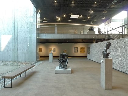
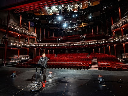
Nearby attractions include: Museum Küppersmühle, Die Säule, Lehmbruck Museum, Theater am Marientor.
Frequently Asked Questions (FAQ)
Which popular attractions are close to Duisburg Canals?
Nearby attractions include Portsmouth Damm, Duisburg (4 min walk), Duisburg Inner Harbour, Duisburg (6 min walk), Museum Küppersmühle, Duisburg (6 min walk), Theater Duisburg, Duisburg (9 min walk).
How to get to Duisburg Canals by public transport?
The nearest stations to Duisburg Canals:
Bus
Metro
Tram
Train
Bus
- Schillerplatz • Lines: 934 (6 min walk)
- Stapeltor • Lines: Ne5 (6 min walk)
Metro
- König-Heinrich-Platz • Lines: U79 (12 min walk)
- Duissern • Lines: U79 (14 min walk)
Tram
- König-Heinrich-Platz • Lines: 901, 903 (12 min walk)
- Rathaus • Lines: 901 (14 min walk)
Train
- Duisburg Hauptbahnhof (19 min walk)


