Hürtgen Forest

Gallery (1)
Map
Map
Facts and practical information
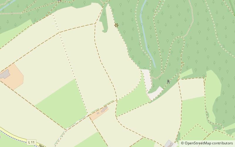
The Hürtgen forest is located along the border between Belgium and Germany, in the southwest corner of the German federal state of North Rhine-Westphalia. Scarcely 130 square kilometres in area, the forest lies within a triangle outlined by the German towns of Aachen, Monschau, and Düren. The Rur River runs along the forest's eastern edge. ()
Location
North Rhine-Westphalia
ContactAdd
Social media
Add
Day trips


