Kühlung, Rostock

Gallery (2)
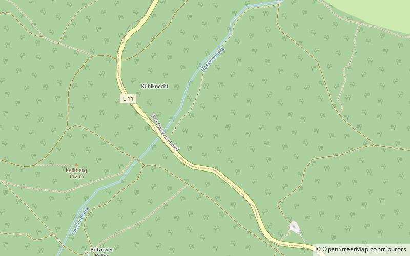
Map
Map
Gallery
Facts and practical information
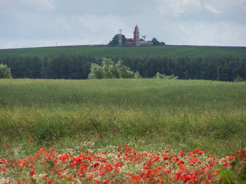
The Kühlung is a forested ridge, up to 129.8 m above sea level, in the north German state of Mecklenburg-Vorpommern. The name is derived from the word Kuhlen. ()
Address
Rostock
ContactAdd
Social media
Add
Getting there by public transportation
Public transportation stops near this location
- Bus
 Bus
Bus
- Calculate routeWittenbeck, Zeltplatz 38 min walk
Day trips


Frequently Asked Questions (FAQ)
How to get to Kühlung by public transport?
The nearest stations to Kühlung:
Bus
Bus
- Wittenbeck, Zeltplatz • Lines: 121 (38 min walk)