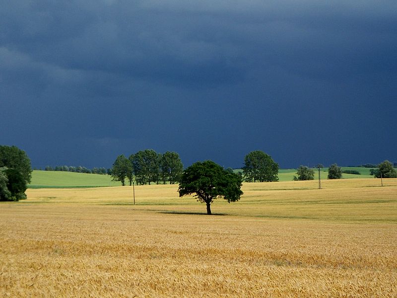
Diedrichshagener Berg, Rostock

Gallery (2)
Map
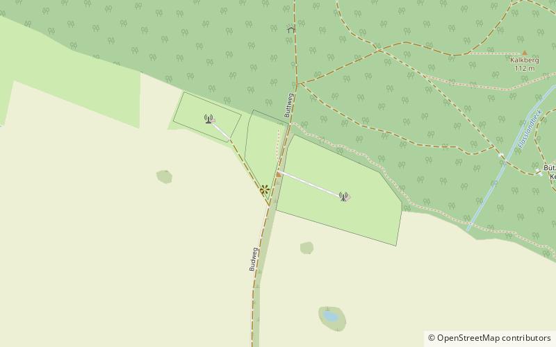
Map
Gallery
Facts and practical information
The Diedrichshagener Berg, at 129.8 metres, is the highest point on the forested ridge of Kühlung in the northeast German state of Mecklenburg-Vorpommern. ()
Address
Rostock
ContactAdd
Social media
Add
Getting there by public transportation
Public transportation stops near this location
- Bus
 Bus
Bus
- Calculate routeDiedrichshagen, Abzweig 30 min walk
- Calculate routeJennewitz, Abzweig 34 min walk
Day trips


Frequently Asked Questions (FAQ)
How to get to Diedrichshagener Berg by public transport?
The nearest stations to Diedrichshagener Berg:
Bus
Bus
- Diedrichshagen, Abzweig • Lines: 104a (30 min walk)
- Jennewitz, Abzweig • Lines: 104b (34 min walk)