Dornbusch, Frankfurt
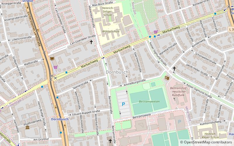
Map
Facts and practical information
Dornbusch is a quarter of Frankfurt am Main, Germany. It is part of the Ortsbezirk Mitte-Nord. Dornbusch has a local U-Bahn station of the same name that is served by lines U1, U2, U3 & U8. It can be found on eschersheimer landstraße and is located alongside the Sinaipark. ()
Getting there by public transportation
Public transportation stops near this location
- Metro
- Bus
- Tram
 Metro
Metro
- Calculate routeKaiser-Sigmund-Straße 5 min walk
- Calculate routeDornbusch 6 min walk
- Calculate routeDornbusch/Am Grünhof 7 min walk
- Calculate routeEckenheimer Landstraße/Marbachweg 10 min walk
- Calculate routeDornbusch 6 min walk
- Calculate routeFritz-Tarnow-Straße 10 min walk
- Calculate routeHauptfriedhof 12 min walk
- Calculate routeMarbachweg/Sozialzentrum 12 min walk
- Calculate routeWasserpark 25 min walk
- Calculate routeMünzenberger Straße 26 min walk
- Calculate routeFriedberger Warte 27 min walk
- Calculate routeNibelungenplatz 27 min walk
Day trips


Frequently Asked Questions (FAQ)
Which popular attractions are close to Dornbusch?
Nearby attractions include Anne Frank Educational Centre, Frankfurt (9 min walk), Hauptfriedhof, Frankfurt (12 min walk), Deutsche Nationalbibliothek, Frankfurt (17 min walk), Heinrich Hoffmanns Eiskeller, Frankfurt (20 min walk).
How to get to Dornbusch by public transport?
The nearest stations to Dornbusch:
Bus
Metro
Tram
Bus
- Kaiser-Sigmund-Straße • Lines: M34 (5 min walk)
- Dornbusch • Lines: 64, M34, N8 (6 min walk)
Metro
- Dornbusch • Lines: U1, U2, U3, U8 (6 min walk)
- Fritz-Tarnow-Straße • Lines: U1, U2, U3, U8 (10 min walk)
Tram
- Wasserpark • Lines: 18 (25 min walk)
- Münzenberger Straße • Lines: 18 (26 min walk)