Hallerwiese, Nuremberg
Map

Gallery
Facts and practical information
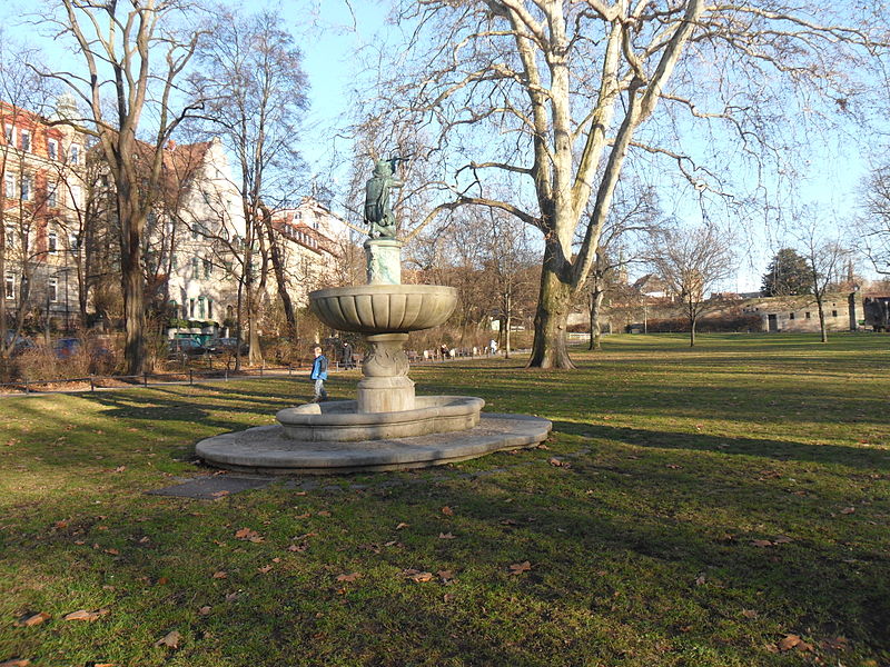
Hallerwiese - a park in Nuremberg in the district of St. Johannis north of the Pegnitz River and west of the city walls, founded in the 15th century. The city purchased meadows in 1434 from the Patrycjusz Haller family. Originally, the area served residents for cattle grazing and for shooting exercises, and then for recreation. On the southern side of the river there is Park Cutumazgarten.
Day trips
Hallerwiese – popular in the area (distance from the attraction)
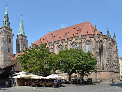
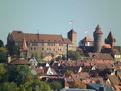
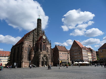
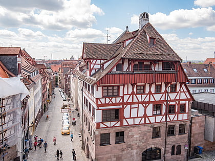
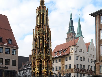
Nearby attractions include: St. Sebald, Nuremberg Castle, Frauenkirche, Albrecht Dürer's House.
Frequently Asked Questions (FAQ)
Which popular attractions are close to Hallerwiese?
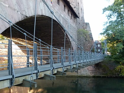
Nearby attractions include Kontumazgarten, Nuremberg (3 min walk), Hesperidengärten, Nuremberg (5 min walk), Neutorturm, Nuremberg (6 min walk), Chain Bridge, Nuremberg (6 min walk).
How to get to Hallerwiese by public transport?
The nearest stations to Hallerwiese:
Tram
Bus
Metro
Train
Tram
- Hallertor • Lines: 4, 6 (5 min walk)
- Hallerstraße • Lines: 6 (5 min walk)
Bus
- Hallerstr. • Lines: N11 (5 min walk)
- Dr. Erler Kliniken • Lines: 84 (6 min walk)
Metro
- Weißer Turm • Lines: U1 (12 min walk)
- Friedrich-Ebert-Platz • Lines: U3 (12 min walk)
Train
- Nürnberg Rothenburger Straße (24 min walk)
- Nürnberg-Steinbühl (24 min walk)

