Ettaler Manndl
#894 among destinations in Germany
![Ettaler Manndl location map](https://tzmedia.b-cdn.net/media/images/static-maps/de/47_5847_11_1157.jpg)
Facts and practical information
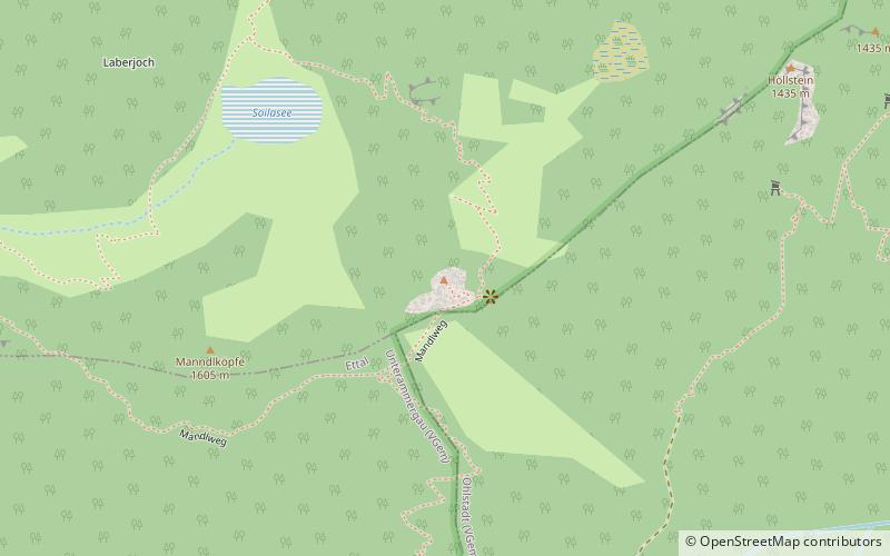
Ettaler Manndl is a 1636-meter-high mountain of the Ammergau Alps in Bavaria, Germany. It is close to the town of Oberammergau and about 10 km north of Garmisch-Partenkirchen. It is a sub-peak of the Laber mountain at 1681 m. ()
BavariaGermany
Ettaler Manndl plan & book
Unleash the traveler in you — discover the cheapest flight deals, find the perfect hotel or hostel nearby, and search for the best car rental prices. Travel at your own pace to discover new places and enjoy your journey.
Ettaler Manndl – popular in the area (distance from the attraction)
Nearby attractions include: Krottenkopf, Werdenfels Castle, Wank Mountain, Kofel.
4.5 miSEProminent mountain with an alpine hutKrottenkopf
115 min walk • Krottenkopf, the highest peak in the Ester Mountains range of Bavaria, Germany, is a beacon for hikers and nature enthusiasts alike. Rising to an elevation of 2,086 meters, it is not only the tallest mountain in the range but also the fourth highest peak in the...
4.8 miSForts and castlesWerdenfels Castle, Garmisch-Partenkirchen
124 min walk • The ruins of Werdenfels Castle stand about 80 metres above the Loisach valley between Garmisch and Farchant in the county of Garmisch-Partenkirchen in Upper Bavaria.
5.6 miSNatural attraction, Nature, MountainWank Mountain
144 min walk • Wank Mountain, located in the Bavarian Alps of southern Germany, stands as a scenic and inviting peak for nature enthusiasts and hikers alike. At an elevation of 1,780 meters, Wank Mountain offers panoramic views of the surrounding alpine landscape, including a...
2.6 miWNatural attraction, Park, MountainKofel, Oberammergau
67 min walk • The Kofel is a 1,342 metres mountain in the Bavarian Alps of Germany. With its distinctive white head it is the signature mountain of the town of Oberammergau, from which the summit is only about one km away.
4.6 miENatural attraction, Nature, MountainHohe Kisten
118 min walk • The Hohe Kisten is a mountain, 1,922 m above sea level, in the Ester range in the Bavarian Prealps and lies north of the Krottenkopf – the main summit of the Ester range.
3.6 miSWNatural attraction, Nature, MountainNotkarspitze
91 min walk • Notkarspitze is a mountain of Bavaria, Germany.
4.1 miSENatural attraction, Nature, MountainBischof Mountain
106 min walk • The Bischof is a mountain peak in the Bavarian Prealps of southern Germany. It lies in the westernmost part of the Bavarian Prealps in the Ester Mountains near Garmisch-Partenkirchen.
6.2 miSWNatural attraction, Nature, MountainKramerspitz
160 min walk • Kramerspitz is a mountain overlooking the Garmisch side of Garmisch-Partenkirchen in Bavaria, Germany. It forms the most visible western boundary of the Loisach River Valley. It stands across the valley from the Wank to the east on the Partenkirchen side.
1.4 miSWGrand Benedictine monastery and distilleryEttal Abbey, Ettal
37 min walk • Ettal Abbey is a Benedictine monastery in the village of Ettal close to Oberammergau and Garmisch-Partenkirchen in Bavaria, Germany. With a community of more than 50 monks, with another five at Wechselburg, the Abbey is one of the largest Benedictine houses and is a major attraction for visitors.
2.4 miW 5.6 miSChairlift, ParkWankbahn Talstation, Garmisch-Partenkirchen
143 min walk • The Wankbahn is a single-cable gondola lift. It leads northeast of Garmisch-Partenkirchen via the mid station to the 1780 m high Wank, a mountain on the edge of the Estergebirge.