Church of St. John, Essen
Map
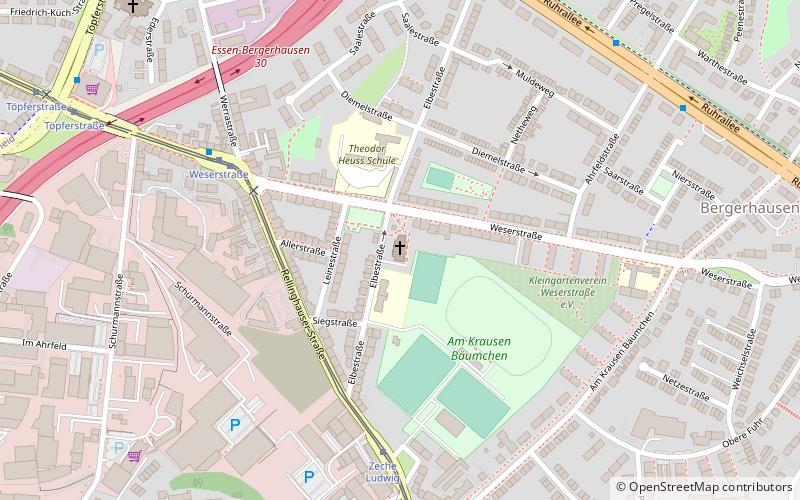
Map

Facts and practical information
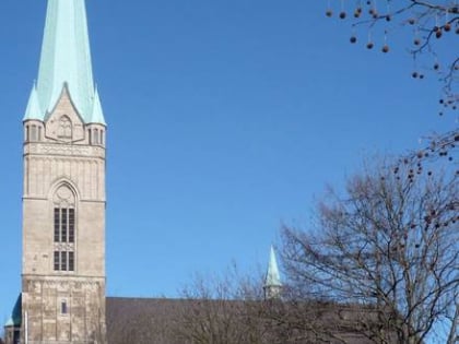
St. John's Church is a Protestant church in the Bergerhausen district of Essen. It was consecrated in 1985, replacing the older Johanneskirche, which had been built from 1954 to 1955. The freestanding steeple of the first church building is still standing.
Coordinates: 51°26'8"N, 7°2'11"E
Day trips
Church of St. John – popular in the area (distance from the attraction)
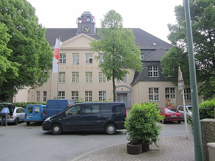
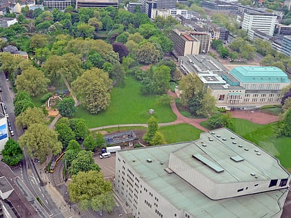
Nearby attractions include: Philharmonie Essen, Aalto-Theater, Kunsthaus Essen, RWE Tower.
Frequently Asked Questions (FAQ)
Which popular attractions are close to Church of St. John?
Nearby attractions include Bergerhausen, Essen (9 min walk), Kirche St. Hubertus, Essen (9 min walk), St. Annen Kapelle, Essen (16 min walk), Kirche im Elisabeth Krankenhaus, Essen (18 min walk).
How to get to Church of St. John by public transport?
The nearest stations to Church of St. John:
Tram
Bus
Train
Metro
Tram
- Weserstraße • Lines: 105 (5 min walk)
- Zeche Ludwig • Lines: 105 (5 min walk)
Bus
- Ahrfeldstraße • Lines: 154, 155 (8 min walk)
- Klinkestraße • Lines: 154, 155 (8 min walk)
Train
- Essen Süd (16 min walk)
- Essen-Stadtwald (27 min walk)
Metro
- Essen Hauptbahnhof • Lines: U11, U17, U18 (37 min walk)
