Ostfildern, Stuttgart

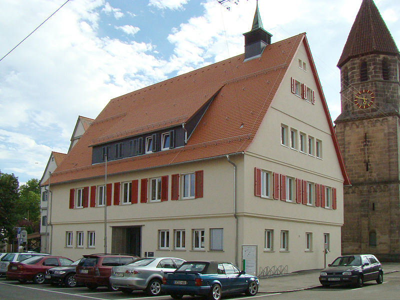
Gallery (3)
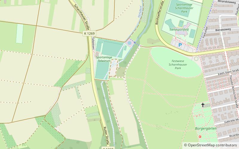
Map
Map
Gallery
Facts and practical information
Ostfildern is a town in the district of Esslingen in Baden-Württemberg in southern Germany. It is located approximately 8 km southeast of Stuttgart. It was formed in 1975 out of a fusion of the previously separate boroughs of Nellingen, Ruit, Kemnat and Scharnhausen and currently has approximately 37,000 inhabitants. ()
Getting there by public transportation
Public transportation stops near this location
- Bus
- Light rail
 Bus
Bus
- Calculate routeRuit Zinsholz 12 min walk
- Calculate routeParksiedlung 16 min walk
- Calculate routeScharnhauser Park Kreuzbrunnen 18 min walk
- Calculate routeRuit Scharnhäuser Straße 12 min walk
- Calculate routeRuit Zinsholz 13 min walk
- Calculate routeScharnhauser Park 13 min walk
- Calculate routeParksiedlung Parkstraße 16 min walk
Day trips


Frequently Asked Questions (FAQ)
How to get to Ostfildern by public transport?
The nearest stations to Ostfildern:
Light rail
Bus
Light rail
- Ruit Zinsholz • Lines: U7, U8 (12 min walk)
- Parksiedlung • Lines: U7, U8 (16 min walk)
Bus
- Ruit Scharnhäuser Straße • Lines: 815 (12 min walk)
- Ruit Zinsholz • Lines: 130, 131, N22 (13 min walk)