Österbergturm, Tübingen
Map

Map

Facts and practical information
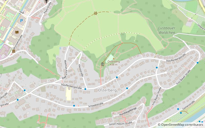
The Österbergturm is a lookout and transmission tower on the Österberg of the Baden-Württemberg town of Tübingen, located in the district of Tübingen, inaugurated on July 3, 1891 as the Kaiser Wilhelm Tower. With its antenna support, it is 40 m high.
The tower stands slightly southwest of the summit of the Österberg, which lies to the east of the old and inner city of Tübingen, at an altitude of about 431 meters.
Coordinates: 48°31'23"N, 9°4'12"E
Address
Tübingen
ContactAdd
Social media
Add
Day trips
Österbergturm – popular in the area (distance from the attraction)
Nearby attractions include: Markt am Nonnenhaus, Stiftskirche Tübingen, Hölderlinturm, Schloß Hohentübingen.
Frequently Asked Questions (FAQ)
Which popular attractions are close to Österbergturm?
Nearby attractions include Universitätsbibliothek Tübingen, Tübingen (10 min walk), Alter Botanischer Garten Tübingen, Tübingen (16 min walk), Deutsch-Amerikanisches Institut Tübingen, Tübingen (17 min walk), Landestheater Tübingen, Tübingen (17 min walk).
How to get to Österbergturm by public transport?
The nearest stations to Österbergturm:
Bus
Train
Bus
- Stauffenbergstraße • Lines: 10 (2 min walk)
- Kleiststraße • Lines: 10 (3 min walk)
Train
- Tübingen Hbf (23 min walk)
- Tübingen-Lustnau (29 min walk)


