Kattenturm, Soest
Map

Map

Facts and practical information
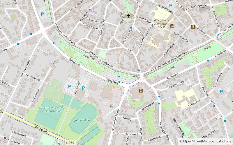
The Kattenturm in Soest is a fortified tower built in 1230. It is the only surviving fortified tower of the former inner city wall and is located south of the old town on Jakobi-Ulricher-Wall, not far west of Ulricher Tor.
Coordinates: 51°33'59"N, 8°6'23"E
Address
Soest
ContactAdd
Social media
Add
Day trips
Kattenturm – popular in the area (distance from the attraction)
Nearby attractions include: St. Patrokli, Sankt Petri, Osthofentor, Sankt Maria zur Höhe.
Frequently Asked Questions (FAQ)
Which popular attractions are close to Kattenturm?
Nearby attractions include Sankt Pauli, Soest (5 min walk), Sankt Petri, Soest (10 min walk), St. Patrokli, Soest (10 min walk), Alt-Sankt Thomä, Soest (12 min walk).
How to get to Kattenturm by public transport?
The nearest stations to Kattenturm:
Bus
Train
Bus
- Stadthalle • Lines: C2 (1 min walk)
- Ulrichertor • Lines: 530, 569, C1, C2, R49, R51, S11 (2 min walk)
Train
- Soest (22 min walk)


