Brunsteinkapelle, Soest
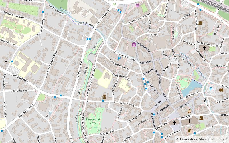
Map

Map

Facts and practical information
The Brunstein Chapel is a listed former church building in the district town of Soest. It is the last of about 20 medieval civic chapels that once existed in Soest.
Architectural style: GothicCoordinates: 51°34'26"N, 8°6'10"E
Day trips
Brunsteinkapelle – popular in the area (distance from the attraction)
Nearby attractions include: St. Patrokli, Sankt Petri, Osthofentor, Kattenturm.
Frequently Asked Questions (FAQ)
Which popular attractions are close to Brunsteinkapelle?
Nearby attractions include Sankt Petri, Soest (7 min walk), St. Patrokli, Soest (8 min walk), St. Maria zur Wiese, Soest (8 min walk), Sankt Maria zur Höhe, Soest (10 min walk).
How to get to Brunsteinkapelle by public transport?
The nearest stations to Brunsteinkapelle:
Bus
Train
Bus
- Amtsgericht • Lines: 532, R36 (3 min walk)
- Bustreff Hansaplatz • Lines: 530, 532, 569, 583, 644, C1, C2, C3, C4, C5, C6, C7, C8, R36, R49, R51, R81, S11, T35, T37, T39 (3 min walk)
Train
- Soest (9 min walk)


