St. Paulus, Saarbrücken
Map

Map

Facts and practical information
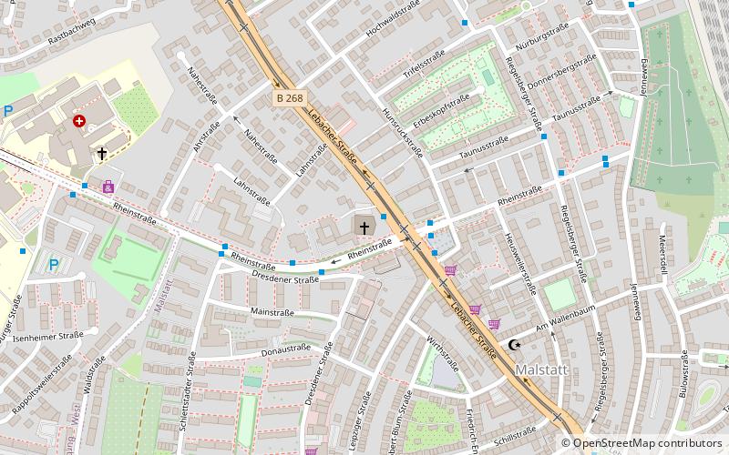
The Catholic Church of St. Paul is a church building of the parish community of Saarbrücken-Malstatt in the Saarbrücken Deanery of the Diocese of Trier and stands on the corner of Lebacher Straße and Rheinstraße in the Saarbrücken district of Malstatt on the Rastpfuhl. It bears the patrocinium of St. Paul of Tarsus.
Architectural style: ModernCoordinates: 49°14'48"N, 6°58'0"E
Address
Lebacher Str. 119Mitte (Malstatt)Saarbrücken 66113
Contact
+49 681 9471900
Social media
Add
Day trips
St. Paulus – popular in the area (distance from the attraction)
Nearby attractions include: Ludwigskirche, Saarbrücken Castle, Ludwigsparkstadion, Europa-Gallerie.
Frequently Asked Questions (FAQ)
Which popular attractions are close to St. Paulus?
Nearby attractions include St. Antonius, Saarbrücken (12 min walk), Herz Jesu, Saarbrücken (15 min walk), Saarlandhalle, Saarbrücken (23 min walk).
How to get to St. Paulus by public transport?
The nearest stations to St. Paulus:
Tram
Bus
Train
Tram
- Pariser Platz (1 min walk)
- Rastpfuhl (8 min walk)
Bus
- Pariser Platz/St.Paulus • Lines: 129, 134, 666 (2 min walk)
- Dresdener Straße • Lines: 129, 134 (2 min walk)
Train
- Saarbrücken-Burbach (15 min walk)
- Saarbrücken-Burbach Mitte (26 min walk)


