Pullach, Munich
Map

Map

Facts and practical information
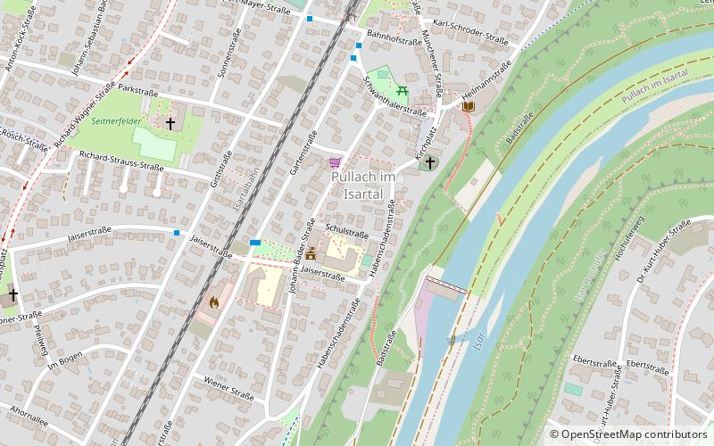
Pullach, officially Pullach i. Isartal, is a municipality in the district of Munich in Bavaria in Germany. It lies on the Isar Valley Railway and is served by the S 7 line of the Munich S-Bahn, at the Großhesselohe Isartalbahnhof, Pullach and Höllriegelskreuth railway stations. ()
Day trips
Pullach – popular in the area (distance from the attraction)
Nearby attractions include: Tierpark Hellabrunn, Waldwirtschaft, Burg Grünwald, DAV Kletter- und Boulderzentrum München-Süd.
Frequently Asked Questions (FAQ)
Which popular attractions are close to Pullach?
Nearby attractions include Grünwald, Munich (18 min walk), Burg Grünwald, Munich (22 min walk).
How to get to Pullach by public transport?
The nearest stations to Pullach:
Bus
Train
Tram
Bus
- Pullach, Gartenstraße/Rathaus • Lines: 270, 270V (3 min walk)
- Pullach • Lines: 270, 270V (5 min walk)
Train
- Pullach (7 min walk)
- Höllriegelskreuth (25 min walk)
Tram
- Grünwald, Ludwig-Thoma-Straße • Lines: 25 (19 min walk)
- Robert-Koch-Straße • Lines: 25 (31 min walk)


