Rosdorf, Göttingen
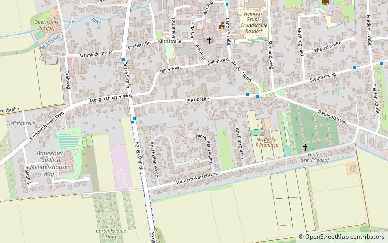
Map
Facts and practical information
Rosdorf is a municipality in the district of Göttingen, in Lower Saxony, Germany. approx. 4 km southwest of Göttingen. ()
Getting there by public transportation
Public transportation stops near this location
- Bus
 Bus
Bus
- Calculate routeVor dem Warteberge 3 min walk
- Calculate routeHagenbreite 4 min walk
- Calculate routeObere Straße 5 min walk
- Calculate routeLange Straße 6 min walk
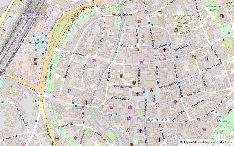
Day trips


Frequently Asked Questions (FAQ)
How to get to Rosdorf by public transport?
The nearest stations to Rosdorf:
Bus
Bus
- Vor dem Warteberge • Lines: 130 (3 min walk)
- Hagenbreite • Lines: 130, 61, 62, E, E61 (4 min walk)