Sirgenstein Castle

Gallery (1)
Map
Map
Facts and practical information
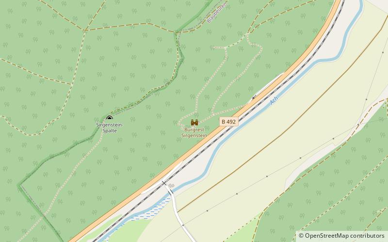
Sirgenstein Castle is a ruined castle on rock, over twenty metres high, with a cave inhabited in the Stone Age, the Sirgenstein, between the town of Blaubeuren and hamlet of Schelklingen in Alb-Donau-Kreis in Baden-Württemberg. ()
Location
Baden-Württemberg
ContactAdd
Social media
Add
Day trips


