Hoher Stein

Gallery (1)
Map
Map
Facts and practical information
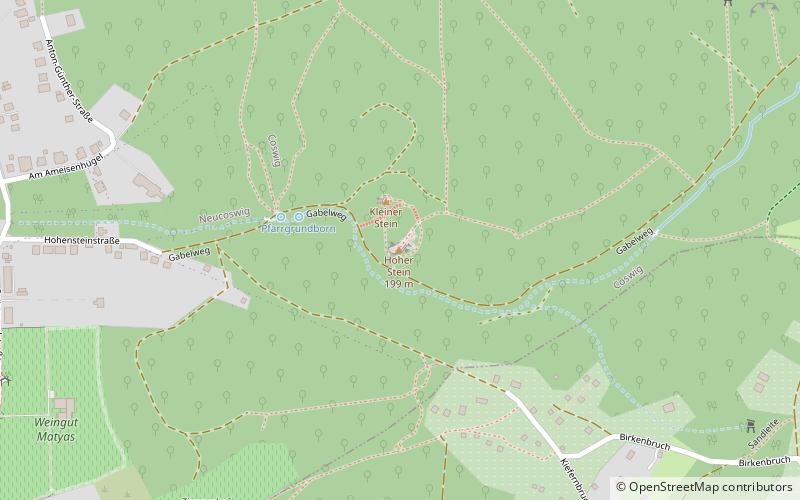
The Hohe Stein is a 200-meter-high mountain that belongs to the large district town of Coswig. It is protected as a rock biotope.
Coordinates: 51°8'6"N, 13°36'26"E
Location
Saxony
ContactAdd
Social media
Add
Day trips


