Bochum-Werne, Bochum
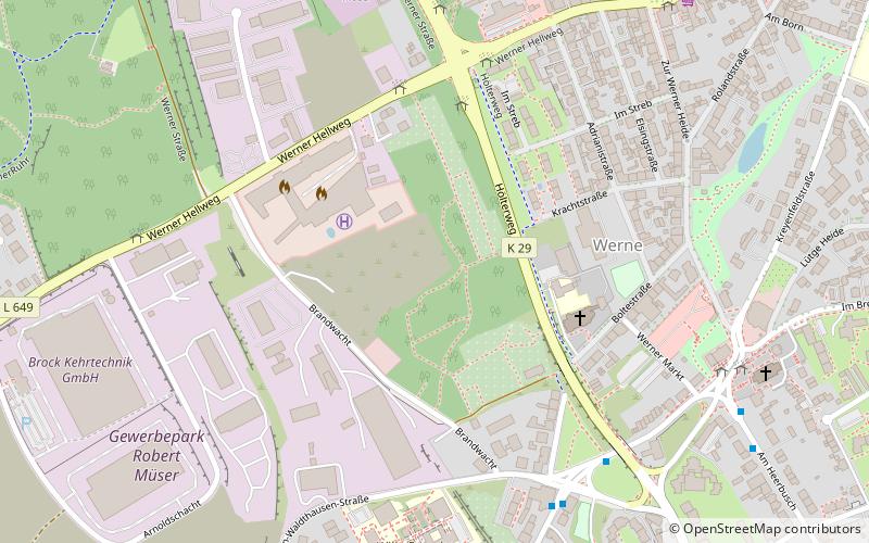
Map
Facts and practical information
Address
Bochum Ost (Werne)Bochum
ContactAdd
Social media
Add
Getting there by public transportation
Public transportation stops near this location
- Bus
- Tram
- Train
 Bus
Bus
- Calculate routeHeinrich-Gustav-Straße 6 min walk
- Calculate routeArnoldschacht 7 min walk
- Calculate routeBochum-Langendreer West 18 min walk
- Calculate routeBochum-Langendreer 30 min walk
- Calculate routeBochum-Langendreer S 31 min walk
- Calculate routeLessing-Schule 32 min walk
- Calculate routeLangendreer Markt 36 min walk
Day trips


Frequently Asked Questions (FAQ)
How to get to Bochum-Werne by public transport?
The nearest stations to Bochum-Werne:
Bus
Train
Tram
Bus
- Heinrich-Gustav-Straße • Lines: 364, 370, 379 (6 min walk)
- Arnoldschacht • Lines: 345, 355, 366, Ne3 (7 min walk)
Train
- Bochum-Langendreer West (18 min walk)
- Bochum-Langendreer (30 min walk)
Tram
- Bochum-Langendreer S • Lines: 302, 305, 309 (31 min walk)
- Lessing-Schule • Lines: 302, 305, 310 (32 min walk)