Stadtbrunnen, Bad Säckingen

Gallery (1)
Map
Map
Facts and practical information
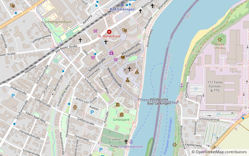
Stadtbrunnen is a place located in Bad Säckingen (Baden-Württemberg state) and belongs to the category of fountain.
It is situated at an altitude of 958 feet, and its geographical coordinates are 47°33'9"N latitude and 7°56'57"E longitude.
Planning a visit to this place, one can easily and conveniently get there by public transportation. Stadtbrunnen is a short distance from the following public transport stations: Bad Säckingen (train, 7 min walk), Busbahnhof (bus, 7 min walk).
Among other places and attractions worth visiting in the area are: Fridolinsmünster (church, 1 min walk), Sandsteinfiguren (monuments and statues, 1 min walk), Rheinwelle (monuments and statues, 1 min walk).
Coordinates: 47°33'9"N, 7°56'57"E
Address
Bad Säckingen
ContactAdd
Social media
Add
Getting there by public transportation
Public transportation stops near this location
- Bus
- Train
 Bus
Bus
- Calculate routeBad Säckingen 7 min walk
- Calculate routeBusbahnhof 7 min walk
- Calculate routeBussteig 6 7 min walk
Day trips


Frequently Asked Questions (FAQ)
Which popular attractions are close to Stadtbrunnen?
Nearby attractions include Fridolinsmünster, Bad Säckingen (1 min walk), Sandsteinfiguren, Bad Säckingen (1 min walk), Rheinwelle, Bad Säckingen (1 min walk), Wappen der Stadtteile, Bad Säckingen (2 min walk).
How to get to Stadtbrunnen by public transport?
The nearest stations to Stadtbrunnen:
Train
Bus
Train
- Bad Säckingen (7 min walk)
Bus
- Busbahnhof (7 min walk)
- Bussteig 6 • Lines: 7320 (7 min walk)