Wittlaer, Düsseldorf
Map

Map

Facts and practical information
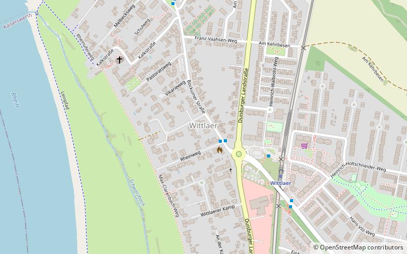
Wittlaer is an urban borough of Düsseldorf. It borders Stockum, Kalkum, Angermund, and the city of Duisburg. It is close to Düsseldorf Airport. Wittlaer has the lowest point in Düsseldorf, where the Schwarzbach flows into the river Rhine. It is 28 m above sea level. ()
Address
Stadtbezirke 05 (Wittlaer)Düsseldorf
ContactAdd
Social media
Add
Day trips
Wittlaer – popular in the area (distance from the attraction)
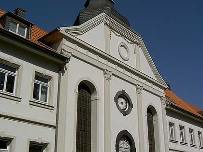
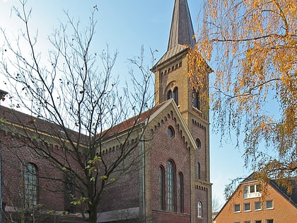
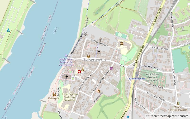
Nearby attractions include: Town Church, Stammhauskirche, Düsseldorf-Kaiserswerth, Düsseldorf-Kalkum.
Frequently Asked Questions (FAQ)
How to get to Wittlaer by public transport?
The nearest stations to Wittlaer:
Metro
Bus
Metro
- Wittlaer • Lines: U79 (5 min walk)
- Am Mühlenacker • Lines: U79 (12 min walk)
Bus
- Kalkumer Schloßallee • Lines: 728, 749, 751 (25 min walk)
- Nierst, Kirche • Lines: 839 (30 min walk)


