Düsseldorf-Kaiserswerth, Düsseldorf
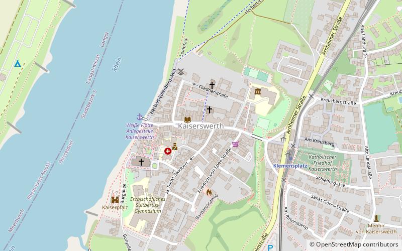
Map
Facts and practical information
Kaiserswerth is one of the oldest parts of the City of Düsseldorf. It is in the north of the city and next to the river Rhine. It houses the Kaiserwerth Deaconesses’ Institute where Florence Nightingale worked. Kaiserswerth has about 7,000 inhabitants and an area of 4.71 km2. ()
Address
Stadtbezirke 05 (Kaiserswerth)Düsseldorf
ContactAdd
Social media
Add
Getting there by public transportation
Public transportation stops near this location
- Metro
- Bus
 Metro
Metro
- Calculate routeKlemensplatz 5 min walk
- Calculate routeKalkumer Schloßallee 12 min walk
- Calculate routeZur Rheinfähre 21 min walk
- Calculate routeDeichweg 25 min walk
- Calculate routeKlemensplatz 5 min walk
- Calculate routeKalkumer Schloßallee 11 min walk
- Calculate routeKittelbachstraße 13 min walk
- Calculate routeAlte Landstraße 23 min walk
Day trips
Düsseldorf-Kaiserswerth – popular in the area (distance from the attraction)
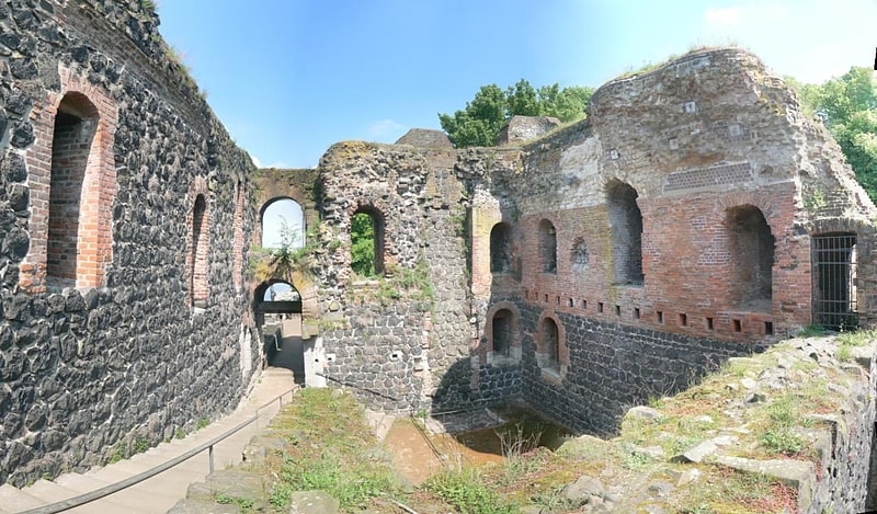
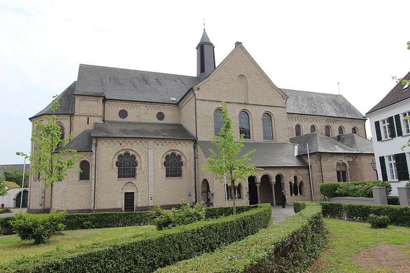
Nearby attractions include: Kaiserpfalz, St. Suitbertus, Town Church, Stammhauskirche.


Frequently Asked Questions (FAQ)
Which popular attractions are close to Düsseldorf-Kaiserswerth?
Nearby attractions include Stammhauskirche, Düsseldorf (1 min walk), Town Church, Düsseldorf (3 min walk), St. Suitbertus, Düsseldorf (4 min walk), Kaiserpfalz, Düsseldorf (6 min walk).
How to get to Düsseldorf-Kaiserswerth by public transport?
The nearest stations to Düsseldorf-Kaiserswerth:
Bus
Metro
Bus
- Klemensplatz • Lines: 728, 749, 751, 760 (5 min walk)
- Kalkumer Schloßallee • Lines: 728, 749, 751 (12 min walk)
Metro
- Klemensplatz • Lines: U79 (5 min walk)
- Kalkumer Schloßallee • Lines: U79 (11 min walk)