Südpark, Erfurt
Map
Gallery
Facts and practical information
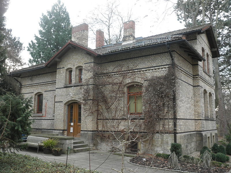
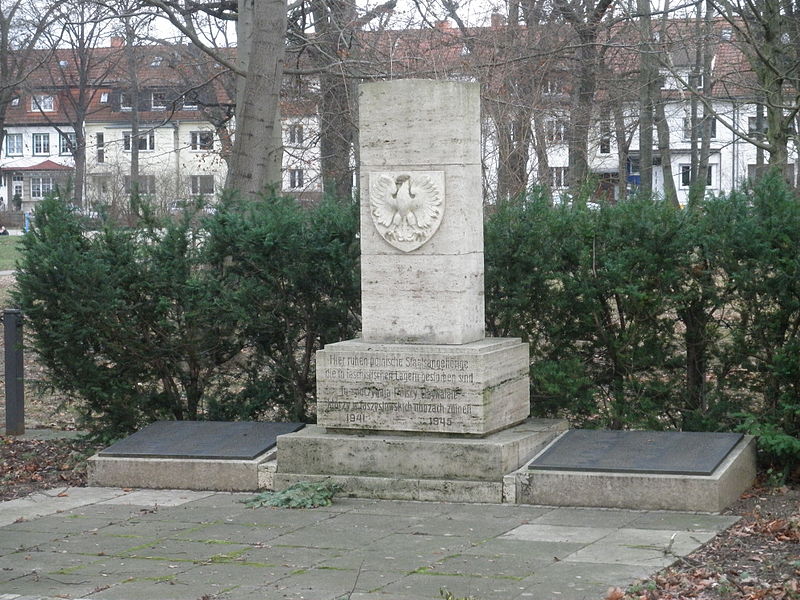
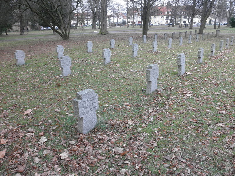
Südpark is a medium-sized park in the city of Erfurt, covering 7 hectares. It is located in the historic Löbervorstadt and emerged from the 1978 closed Erfurt South Cemetery. However, its area has shrunk to less than half due to development in the north and south, especially by the SED district party school and buildings of the Erfurt sports center. The park has a tree population over 100 years old and two memorials from the cemetery era.
Elevation: 728 ft a.s.l.Coordinates: 50°57'32"N, 11°2'23"E
Address
4 MozartalleeLöbervorstadtErfurt
ContactAdd
Social media
Add
Day trips
Südpark – popular in the area (distance from the attraction)
Nearby attractions include: Erfurt Cathedral, Angermuseum, Steigerwaldstadion, Topf and Sons.
Frequently Asked Questions (FAQ)
Which popular attractions are close to Südpark?
Nearby attractions include Thüringenhalle, Erfurt (4 min walk), Neuer jüdischer Friedhof, Erfurt (4 min walk), Steigerwaldstadion, Erfurt (4 min walk), Church of St. Luke, Erfurt (16 min walk).
How to get to Südpark by public transport?
The nearest stations to Südpark:
Tram
Bus
Train
Tram
- Stadion Ost • Lines: 2, 3 (5 min walk)
- Thüringenhalle • Lines: 1 (5 min walk)
Bus
- Erfurt, Martin-Andersen-Nexö-Straße • Lines: 350 (8 min walk)
- Erfurt, Landtag / Stadion Nord • Lines: 350, 60, 61 (13 min walk)
Train
- Erfurt Hbf (24 min walk)


